
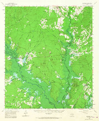
1958 Map of Broaddus
USGS Topo · Published 1959About this map
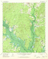
The Angelina National Forest dominates this East Texas landscape, recorded here just before the completion of the Sam Rayburn Reservoir. Blue hachured lines indicate the proposed McGee Bend Reservoir basin, marking areas of the Angelina River and Attoyac Bayou bottoms destined for inundation. Settlements like Etoile, Broaddus, and Naclina serve as hubs for a region defined by timber and agriculture, while more isolated locations like Suttons Mill and La Cerda punctuate the piney woods. Genealogists will find a wealth of family-named landmarks, including the Blue Spring Cem, Wooten Cem, and Cochran Cem. Rural spiritual life is evidenced by Brewers Chapel and St Peter Ch, while the industrial past of the timber era is seen in labels like New Camp and the rail-linked Ewing.
Find a feature on this map
74 named features on this map. Tap any name to fly to it.
Don’t see what you’re looking for? This feature index may not catch every label — zoom into the map to look around manually.
Map Details
Editions of this 1958 Broaddus Map
3 editions found
Other maps of this area

1931 · Zavalla
USGS Topo · 1:62,500

1932 · Manning
USGS Topo · 1:62,500

1949 · Lufkin
USGS Topo · 1:62,500

1949 · Platt
USGS Topo · 1:24,000

1949 · Huntington
USGS Topo · 1:24,000

1950 · Platt
USGS Topo · 1:24,000

1950 · Huntington
USGS Topo · 1:24,000

1952 · Nacogdoches
USGS Topo · 1:62,500

1953 · Palestine
USGS Topo · 1:250,000

1957 · Palestine
USGS Topo · 1:250,000