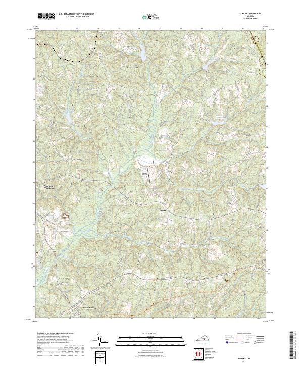
2022 Map of Eureka
USGS Topo · Published 2022About this map
Charlotte Court House serves as the historic seat of Charlotte County, anchoring a landscape defined by rolling terrain and a network of named watercourses. The map details the small settlements of Eureka and Drakes Branch, connected by roads such as Abilene Rd and Spencer Rd. The local topography is punctuated by Paulownia Knoll and drained by numerous tributaries, including Roanoke Cr, Twittys Cr, and Ash Camp Cr. Several engineered reservoirs, such as Roanoke Cr Site 68 Lake, reflect the region's water management history.
Find a feature on this map
80 named features on this map. Tap any name to fly to it.
Don’t see what you’re looking for? This feature index may not catch every label — zoom into the map to look around manually.
Map Details
Editions of this 2022 Eureka Map
This is the sole edition of this map. No revisions or reprints were ever made.
Historical Maps of Eureka Through Time
12 maps found
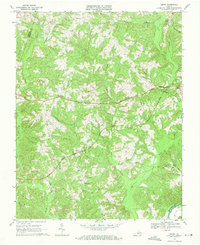
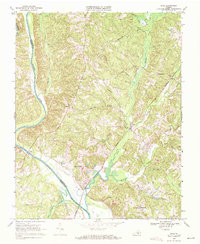
1968 Aspen
Charlotte County, VA
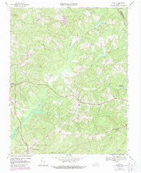
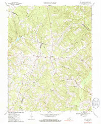
1968 Eureka
Charlotte County, VA
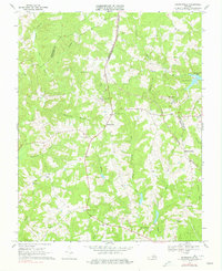
1968 Madisonville
Charlotte County, VA
1968 Red House
Charlotte County, VA
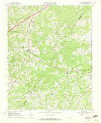
1968 Saxe
Charlotte County, VA
1968 Wylliesburg
Charlotte County, VA
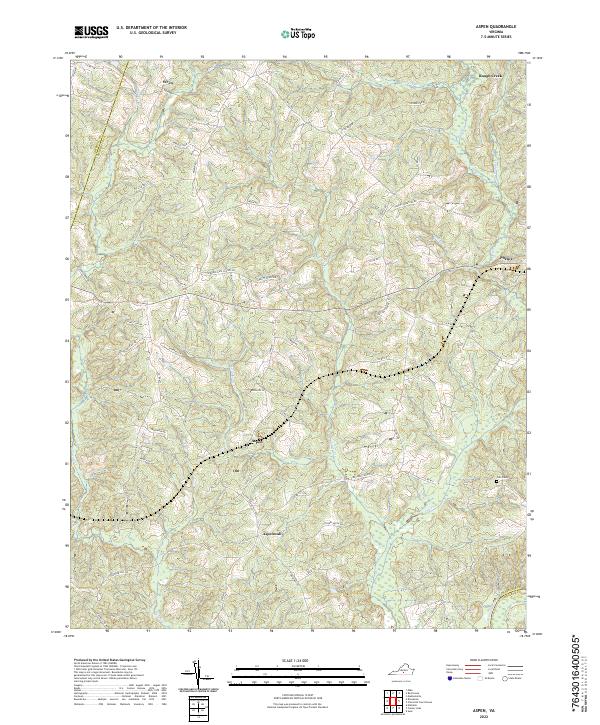
2022 Aspen
Charlotte County, VA
2022 Eureka
Charlotte County, VA
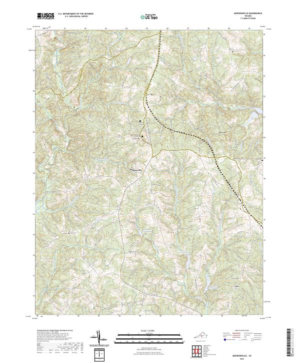
2022 Madisonville
Charlotte County, VA
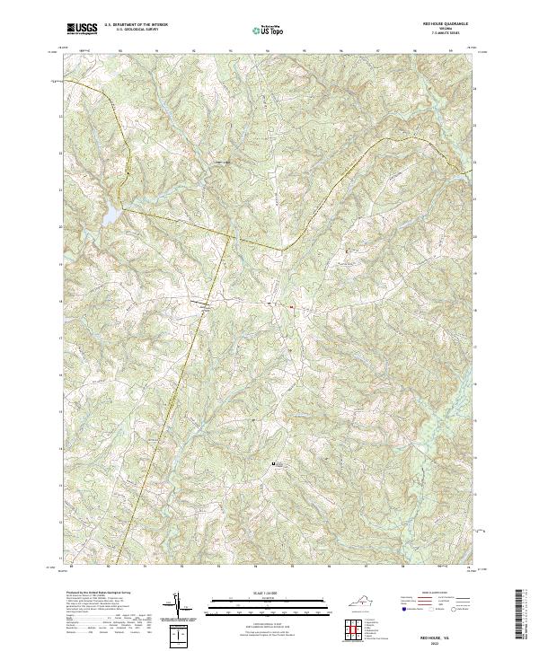
2022 Red House
Charlotte County, VA
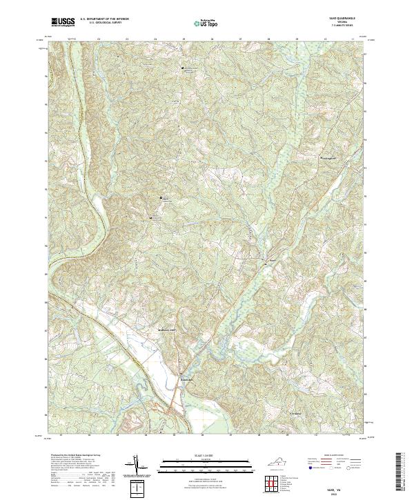
2022 Saxe
Charlotte County, VA
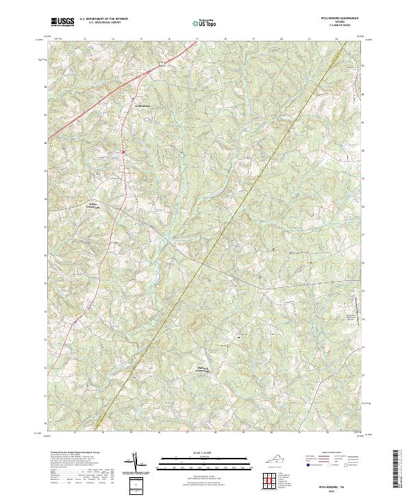
2022 Wylliesburg
Charlotte County, VA