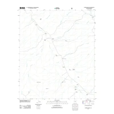
2011 Map of Eureka Ranch
USGS Topo · Published 2011About this map
Aravaipa Creek and Paddys River carve through the arid high country of Graham County, defining a landscape of canyons and washes dominated by ranching life in the early 21st century. The map reveals a network of water-dependent landmarks, from family-named installations like the Paddy Lynch Windmill and Wilson Windmill to the Webb Corral in the northeast. This topography is essential for local history and genealogy, noting several burial sites such as Whalen Cemetery, Johns Cemetery, and Kennedy Cemetery situated near the drainage of Aravaipa Creek.
Find a feature on this map
35 named features on this map. Tap any name to fly to it.
Don’t see what you’re looking for? This feature index may not catch every label — zoom into the map to look around manually.
Map Details
Editions of this 2011 Eureka Ranch Map
This is the sole edition of this map. No revisions or reprints were ever made.
Other maps of this area

1938 · Galiuro Mts
USGS Topo · 1:48,000

1938 · Klondyke
USGS Topo · 1:48,000

1940 · Sierra Bonita Ranch
USGS Topo · 1:62,500

1942 · Sierra Bonita Ranch
USGS Topo · 1:62,500

1943 · Galiuro Mts
USGS Topo · 1:62,500

1943 · Klondyke
USGS Topo · 1:62,500

1943 · Sierra Bonita Ranch
USGS Topo · 1:62,500

1944 · Jackson Mtn.
USGS Topo · 1:62,500

1946 · Jackson Mtn.
USGS Topo · 1:62,500

1956 · Tucson
USGS Topo · 1:250,000