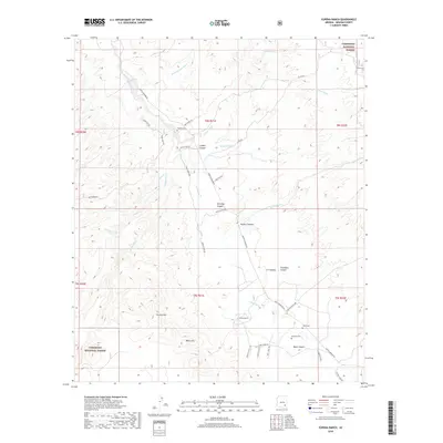
2018 Map of Eureka Ranch
USGS Topo · Published 2018About this map
Eureka Ranch serves as a primary landmark in this ranching landscape of Graham County, where the desert floor meets the elevation of the Coronado National Forest. The map documents a network of seasonal watercourses and drainage systems, including Aravaipa Creek, Paddys River, and Kennedy Falls Wash, which carve through the Black Hills and Aravaipa Canyon. Genealogists and local historians can locate several family-named burial sites, including Whalen Cemetery, Kennedy Cemetery, and Johns Cemetery, providing a record of early settlement and land tenure. The terrain is marked by distinctive geological features such as Eureka Mountain and Black Canyon, while a network of rural routes like Bonita Aravaipa Road and Paddys River Road trace the natural contours of the canyons and washes.
Find a feature on this map
45 named features on this map. Tap any name to fly to it.
Don’t see what you’re looking for? This feature index may not catch every label — zoom into the map to look around manually.
Map Details
Editions of this 2018 Eureka Ranch Map
This is the sole edition of this map. No revisions or reprints were ever made.
Other maps of this area

1938 · Galiuro Mts
USGS Topo · 1:48,000

1938 · Klondyke
USGS Topo · 1:48,000

1940 · Sierra Bonita Ranch
USGS Topo · 1:62,500

1942 · Sierra Bonita Ranch
USGS Topo · 1:62,500

1943 · Galiuro Mts
USGS Topo · 1:62,500

1943 · Klondyke
USGS Topo · 1:62,500

1943 · Sierra Bonita Ranch
USGS Topo · 1:62,500

1944 · Jackson Mtn.
USGS Topo · 1:62,500

1946 · Jackson Mtn.
USGS Topo · 1:62,500

1956 · Tucson
USGS Topo · 1:250,000