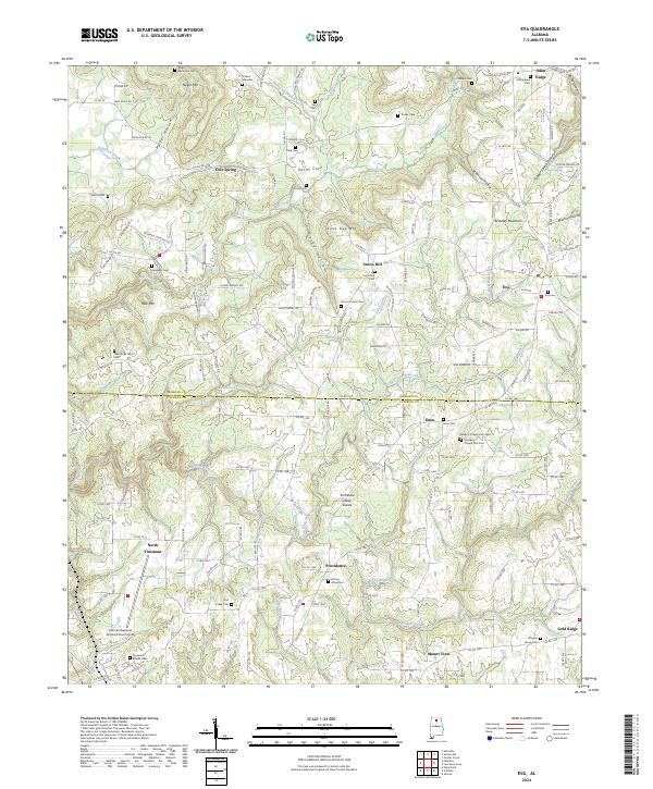
2024 Map of Eva
USGS Topo · Published 2024About this map
Brindley Mountain and the high ground of the Tennessee Valley Divide define the landscape of this 2024 map of northern Alabama, where the small community of Eva serves as a local crossroads. The topography is deeply etched by watercourses such as East Fork Flint Creek and Eightmile Creek, creating a series of hollows including Stillhouse Hollow and Parker Hollow. Genealogists will find a dense distribution of family-named burial sites and historic church grounds, from the Stinson Gravesite and Childers Cem in the north to the Hamby's Chapel Cem East near Enon. The southwestern portion of the sheet is anchored by the Cullman Regional Airport/Folsom Field, representing a significant modern contrast to the surrounding rural settlements of Providence and North Vinemont.
Find a feature on this map
168 named features on this map. Tap any name to fly to it.
Don’t see what you’re looking for? This feature index may not catch every label — zoom into the map to look around manually.
Map Details
Editions of this 2024 Eva Map
This is the sole edition of this map. No revisions or reprints were ever made.
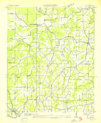
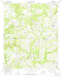
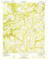
Historical Maps of Mount View Through Time
4 maps found