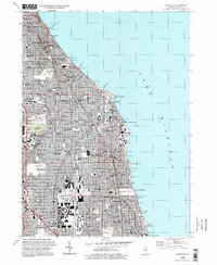
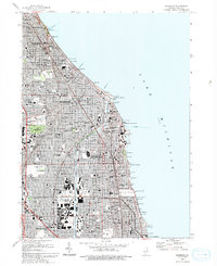
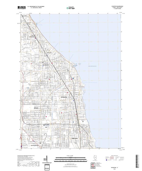
1995 Map of Evanston
USGS Topo · Published 1999About this map
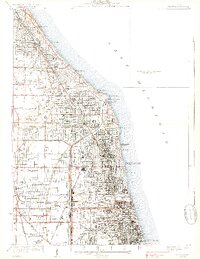
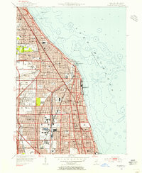
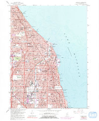
The North Shore suburbs of Chicago maintain their dense, established character along the Lake Michigan shoreline in this mid-1990s study. The map documents a corridor of prestigious educational and religious institutions, from Northwestern University and the Loyola University Mundelein Campus to the intricate Bahai Temple in Wilmette. The urban fabric is defined by a rigorous grid of residential streets and numerous neighborhood parks, including Gilson Park and Centennial Park, while the Chicago and North Western Railway provides the primary transit spine through Evanston and Winnetka. Significant land use for the dead is concentrated at Memorial Park Cemetery and Calvary Cemetery, providing a stark contrast to the commercial density of the Old Orchard Shopping Center. Long-standing local landmarks like the Grosse Point Lighthouse Park and the lakefront Filtration Plant emphasize the area's maritime orientation.
Find a feature on this map
126 named features on this map. Tap any name to fly to it.
Don’t see what you’re looking for? This feature index may not catch every label — zoom into the map to look around manually.
Map Details
Editions of this 1995 Evanston Map
This is the sole edition of this map. No revisions or reprints were ever made.
Historical Maps of Chicago Through Time
6 maps found
Featured Locations
- Chicago, IL
- Evanston, IL
- Lincolnwood, Niles Township
- Skokie, Niles Township
- Wilmette, New Trier Township