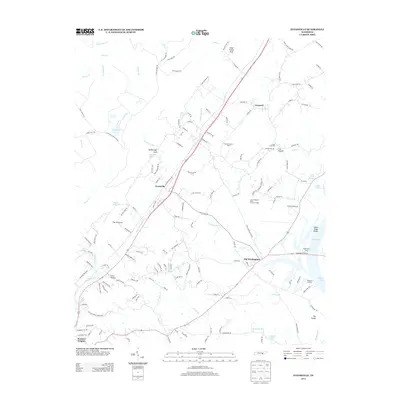
2013 Map of Evensville
USGS Topo · Published 2013About this map
Evensville and Old Washington anchor this Rhea County landscape, which transitions from the steep topographic rises of The Shinbone and Clear Creek Gulf down to the eastern waters of Dallas Lake. The map details a corridor defined by the flow of Little Richland Cr and Washington Cr, tracing the historical connections between long-established settlements. Along the lakeside, the presence of Washington Ferry, Washington Landing, and Robinson Landing illustrates the area's enduring relationship with the Tennessee River system, even as modern infrastructure like the City of Dayton - Rhea County Landfill has been integrated into the rural fabric.
Find a feature on this map
146 named features on this map. Tap any name to fly to it.
Don’t see what you’re looking for? This feature index may not catch every label — zoom into the map to look around manually.
Map Details
Editions of this 2013 Evensville Map
This is the sole edition of this map. No revisions or reprints were ever made.
Other maps of this area

1886 · Cleveland
USGS Topo · 1:125,000

1887 · Kingston
USGS Topo · 1:125,000

1888 · Chattanooga
USGS Topo · 1:125,000

1891 · Kingston
USGS Topo · 1:125,000

1892 · Pikeville
USGS Topo · 1:125,000

1892 · Cleveland
USGS Topo · 1:125,000

1893 · Chattanooga
USGS Topo · 1:125,000

1893 · Kingston
USGS Topo · 1:125,000

1895 · Cleveland
USGS Topo · 1:125,000

1895 · Pikeville
USGS Topo · 1:125,000