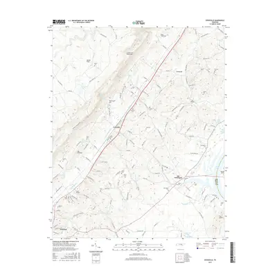
2016 Map of Evensville
USGS Topo · Published 2016About this map
The Cumberland Escarpment and Walden Ridge dominate the western landscape of this Rhea County quadrangle, where the terrain drops sharply into the Tennessee River valley. This area is characterized by deep drainage features like Clear Creek Gulf and Yarborough Gulf, which feed into the Little Richland Cr system. The settlement pattern follows the valley floor, centered around the community of Evensville and the older site of Old Washington near the riverbanks.
Find a feature on this map
143 named features on this map. Tap any name to fly to it.
Don’t see what you’re looking for? This feature index may not catch every label — zoom into the map to look around manually.
Map Details
Editions of this 2016 Evensville Map
This is the sole edition of this map. No revisions or reprints were ever made.
Other maps of this area

1886 · Cleveland
USGS Topo · 1:125,000

1887 · Kingston
USGS Topo · 1:125,000

1888 · Chattanooga
USGS Topo · 1:125,000

1891 · Kingston
USGS Topo · 1:125,000

1892 · Pikeville
USGS Topo · 1:125,000

1892 · Cleveland
USGS Topo · 1:125,000

1893 · Chattanooga
USGS Topo · 1:125,000

1893 · Kingston
USGS Topo · 1:125,000

1895 · Cleveland
USGS Topo · 1:125,000

1895 · Pikeville
USGS Topo · 1:125,000