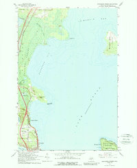
1964 Map of Evergreen Shores
USGS Topo · Published 1989About this map
St Ignace and the shoreline of Lake Huron anchor this mid-1960s study of the Straits of Mackinac. The map details a landscape defined by the transition from the maritime commerce of St Martin Bay and Horseshoe Bay to the dense woods of the Hiawatha National Forest. Significant local landmarks like the towering Castle Rock and Rabbit Back Peak stand as prominent navigation points along the coast. On the mainland, the alignment of the Soo Line railroad and the Mackinac Trail illustrate the transportation corridors that served Evergreen Shores. In the southeast corner, a detailed inset of Mackinac Island includes the Mackinac Island State Park and British Landing, documenting the island's unique layout and preserved historic grounds before the late-century tourism boom.
Find a feature on this map
41 named features on this map. Tap any name to fly to it.
Don’t see what you’re looking for? This feature index may not catch every label — zoom into the map to look around manually.
Map Details
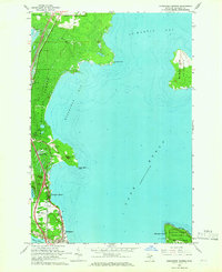
Editions of this 1964 Evergreen Shores Map
2 editions found
Other maps of this area

1931 · St Ignace NW
USGS Topo · 1:31,680

1931 · Moran NE
USGS Topo · 1:31,680

1931 · Ozark SE
USGS Topo · 1:31,680

1932 · St Ignace NE
USGS Topo · 1:31,680

1948 · Moran NE
USGS Topo · 1:31,680

1954 · Sault Sainte Marie
USGS Topo · 1:250,000

1955 · Cheboygan
USGS Topo · 1:250,000

1956 · Sault Sainte Marie
USGS Topo · 1:250,000

1957 · Sault Sainte Marie
USGS Topo · 1:250,000

1958 · Cheboygan
USGS Topo · 1:250,000