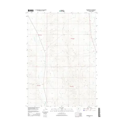
2015 Map of Evergreen SW
USGS Topo · Published 2015About this map
Wounded Knee Cr snakes through the western portion of this landscape in the Oglala Lakota territory, defining the drainage patterns of this high plains region. The map illustrates a primarily rural environment where infrastructure is shaped by the Bureau of Indian Affairs road system, specifically Bia-14 and Bia-24. These routes serve as the primary conduits through the townships of t39n r44w and t38n r43w, connecting isolated points across the undulating terrain. To the east, the waters of Porcupine Cr and its tributary, Little Beam Cr, further carve the topography, showing the natural waterways that have historically dictated movement and land use in this part of South Dakota.
Find a feature on this map
9 named features on this map. Tap any name to fly to it.
Don’t see what you’re looking for? This feature index may not catch every label — zoom into the map to look around manually.
Map Details
Editions of this 2015 Evergreen SW Map
This is the sole edition of this map. No revisions or reprints were ever made.
Other maps of this area

1951 · Sharps Corner
USGS Topo · 1:24,000

1951 · Rockyford
USGS Topo · 1:24,000

1951 · Rockyford SE
USGS Topo · 1:24,000

1955 · Hot Springs
USGS Topo · 1:250,000

1967 · Pine Ridge NE
USGS Topo · 1:24,000

1967 · Manderson
USGS Topo · 1:24,000

1967 · Wounded Knee
USGS Topo · 1:24,000

1981 · Evergreen
USGS Topo · 1:25,000

1981 · Evergreen NE
USGS Topo · 1:24,000

1985 · Pine Ridge
USGS Topo · 1:100,000