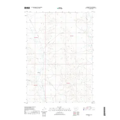
2017 Map of Evergreen SW
USGS Topo · Published 2017About this map
Wounded Knee Cr and Porcupine Cr define the hydrological character of this Oglala Lakota County landscape, carving through the high plains terrain. The area is marked by a network of local transit routes including BIA Hwy 33 and the specifically named Big Foot Trl, which follows the eastern drainage of Porcupine Creek. Genealogy and local history researchers will find the location of the Saint Phillip's Episcopal Cem near the banks of Wounded Knee Creek, providing a specific point of interest for family history within the Pine Ridge Reservation area. The map illustrates a landscape of high ridges and deep creek valleys, where traditional land divisions such as T39N R44W intersect with rural infrastructure like Gooseneck Rd and Grass Creek Rd.
Find a feature on this map
13 named features on this map. Tap any name to fly to it.
Don’t see what you’re looking for? This feature index may not catch every label — zoom into the map to look around manually.
Map Details
Editions of this 2017 Evergreen SW Map
This is the sole edition of this map. No revisions or reprints were ever made.
Other maps of this area

1951 · Sharps Corner
USGS Topo · 1:24,000

1951 · Rockyford
USGS Topo · 1:24,000

1951 · Rockyford SE
USGS Topo · 1:24,000

1955 · Hot Springs
USGS Topo · 1:250,000

1967 · Pine Ridge NE
USGS Topo · 1:24,000

1967 · Manderson
USGS Topo · 1:24,000

1967 · Wounded Knee
USGS Topo · 1:24,000

1981 · Evergreen
USGS Topo · 1:25,000

1981 · Evergreen NE
USGS Topo · 1:24,000

1985 · Pine Ridge
USGS Topo · 1:100,000