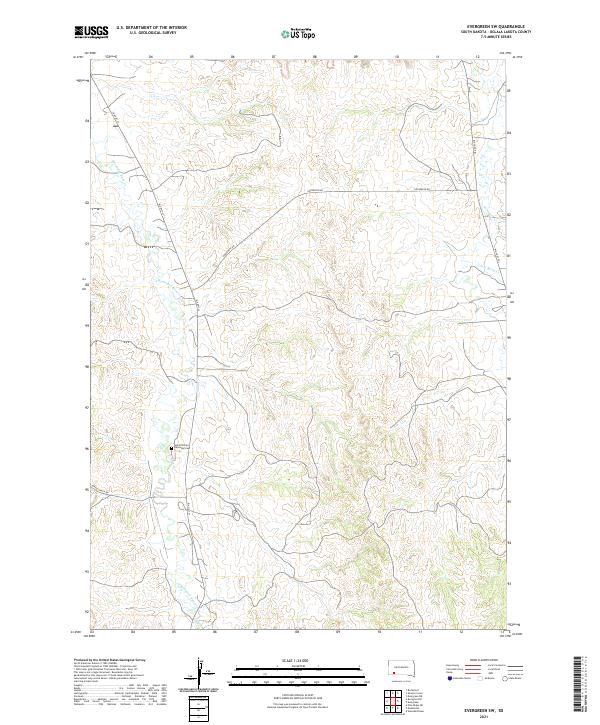
2021 Map of Evergreen SW
USGS Topo · Published 2021About this map
Wounded Knee Cr snakes through the western portion of this 2021 survey of Oglala Lakota County, carving a path through the high plains of South Dakota. The landscape is defined by the drainage systems of Porcupine Cr and its tributary Little Beam Cr to the east, while the central plateau is crossed by rural routes such as Gooseneck Rd. A point of significant interest for local historians and genealogists is Saint Phillip's Episcopal Cem, situated near the banks of the creek. This map provides a modern view of the road network on the reservation, including the prominent BIA Hwy 33 and the Big Foot Trl, reflecting the contemporary layout of this historically significant region.
Find a feature on this map
13 named features on this map. Tap any name to fly to it.
Don’t see what you’re looking for? This feature index may not catch every label — zoom into the map to look around manually.
Map Details
Editions of this 2021 Evergreen SW Map
This is the sole edition of this map. No revisions or reprints were ever made.
Other maps of this area

1951 · Sharps Corner
USGS Topo · 1:24,000

1951 · Rockyford
USGS Topo · 1:24,000

1951 · Rockyford SE
USGS Topo · 1:24,000

1955 · Hot Springs
USGS Topo · 1:250,000

1967 · Pine Ridge NE
USGS Topo · 1:24,000

1967 · Manderson
USGS Topo · 1:24,000

1967 · Wounded Knee
USGS Topo · 1:24,000

1981 · Evergreen
USGS Topo · 1:25,000

1981 · Evergreen NE
USGS Topo · 1:24,000

1985 · Pine Ridge
USGS Topo · 1:100,000