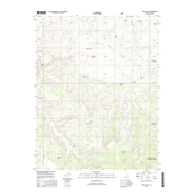
2017 Map of Fable Valley
USGS Topo · Published 2017About this map
Beef Basin dominates the central landscape of this high-altitude San Juan County territory, characterized by a complex drainage system flowing through Beef Basin Wash and Cross Canyon. This 2017 survey details a remote section of the Manti-Lasal National Forest where geologic features like Aesops Arch and House Park Butte provide distinct navigational landmarks. The map records several vital water sources essential to the region's history, including Homewater Spring, Moki Spring, and Fable Spring, which have long supported passage through this arid environment.
Find a feature on this map
65 named features on this map. Tap any name to fly to it.
Don’t see what you’re looking for? This feature index may not catch every label — zoom into the map to look around manually.
Map Details
Editions of this 2017 Fable Valley Map
This is the sole edition of this map. No revisions or reprints were ever made.
Other maps of this area

1885 · San Rafael
USGS Topo · 1:250,000

1885 · La Sal
USGS Topo · 1:250,000

1886 · Henry Mountains
USGS Topo · 1:250,000

1886 · Abajo
USGS Topo · 1:250,000

1892 · Abajo
USGS Topo · 1:250,000

1892 · Henry Mountains
USGS Topo · 1:250,000

1893 · Abajo
USGS Topo · 1:250,000

1935 · Elk Ridge
USGS Topo · 1:96,000

1940 · Elk Ridge
USGS Topo · 1:125,000

1952 · Mouth of Dark Canyon
USGS Topo · 1:62,500