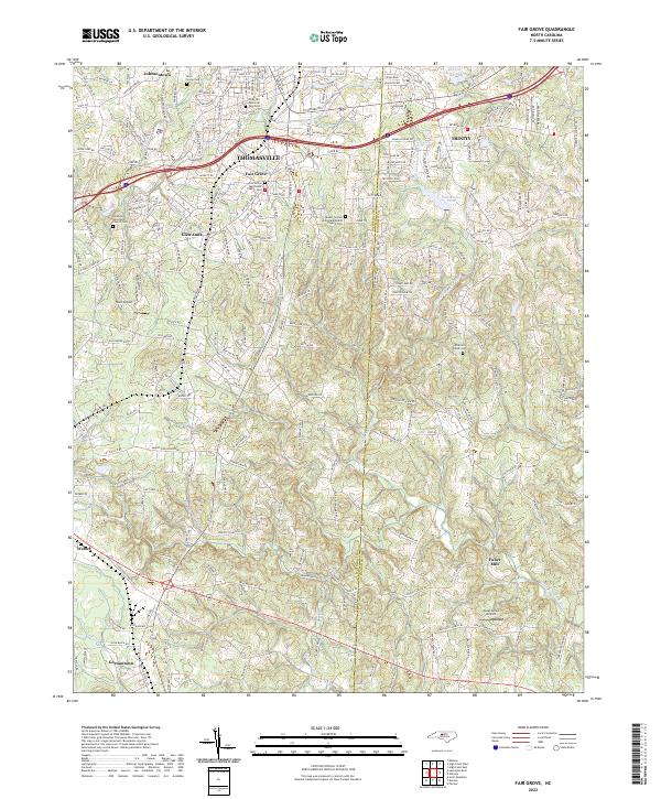
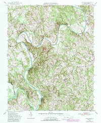
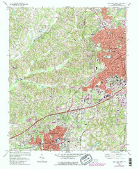
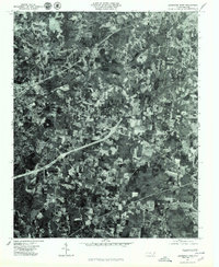
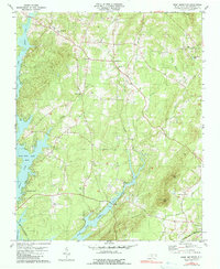
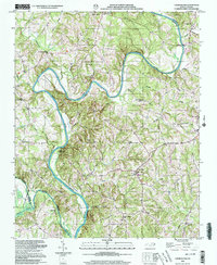
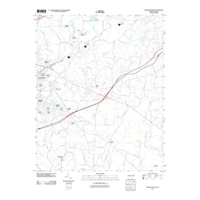
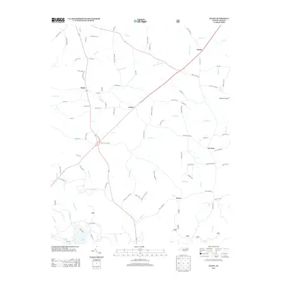
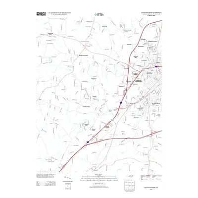
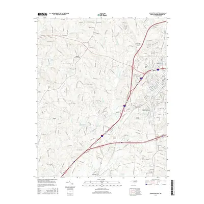
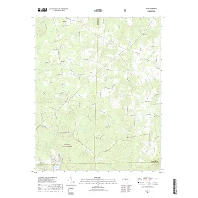
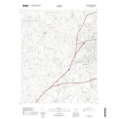
2022 Map of Fair Grove
USGS Topo · Published 2022About this map
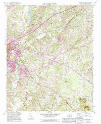
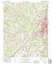
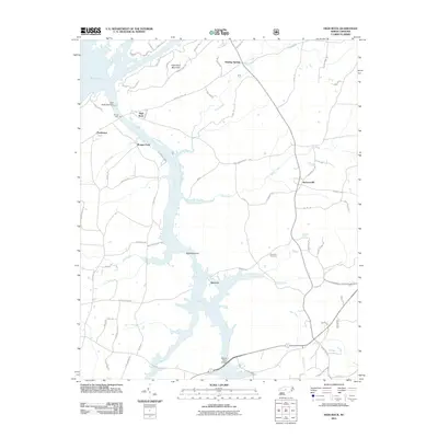
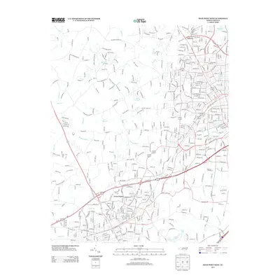
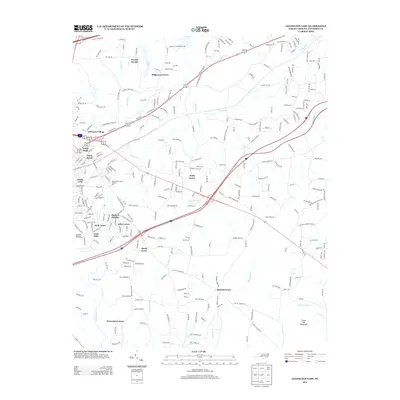
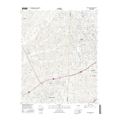
Thomasville serves as the primary urban center for this Piedmont region, anchoring a landscape where established residential streets meet the upper reaches of the Little Uwharrie River. The map reveals a dense network of local history preserved in its religious and institutional landmarks, from the Baptist Childrens Home Rd near Johnsontown to the numerous burial grounds that dot the countryside. Significant genealogical sites include the Emanuel Reformed Church Cem, Fair Grove Methodist Church Cem, and the Mills Home Cem.
Find a feature on this map
223 named features on this map. Tap any name to fly to it.
Don’t see what you’re looking for? This feature index may not catch every label — zoom into the map to look around manually.
Map Details
Editions of this 2022 Fair Grove Map
This is the sole edition of this map. No revisions or reprints were ever made.
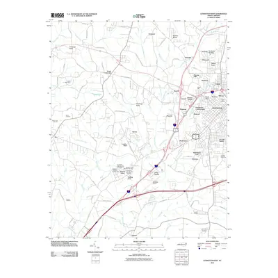
Historical Maps of Thomasville Through Time
66 maps found

1949 Denton NW
Davidson County, NC
1949 Eller
Davidson County, NC
1949 High Point West
Davidson County, NC
1949 High Rock
Davidson County, NC
1950 Churchland
Davidson County, NC
1950 Lexington East
Davidson County, NC
1950 Lexington West
Davidson County, NC

1951 Churchland
Davidson County, NC
1951 Fair Grove
Davidson County, NC

1951 Lexington East
Davidson County, NC

1951 Lexington West
Davidson County, NC
1969 High Point West
Davidson County, NC
1977 Churchland
Davidson County, NC
1977 Denton NW
Davidson County, NC
1977 Fair Grove
Davidson County, NC

1977 High Point West
Davidson County, NC

1977 High Rock
Davidson County, NC
1977 Lexington East
Davidson County, NC
1977 Lexington West
Davidson County, NC
1980 Handy
Davidson County, NC
1980 High Rock
Davidson County, NC
1981 Grist Mountain
Davidson County, NC
1993 High Point West
Davidson County, NC
1994 Handy
Davidson County, NC
1994 High Rock
Davidson County, NC
2000 Churchland
Davidson County, NC
2010 Churchland
Davidson County, NC
2010 Fair Grove
Davidson County, NC
2010 High Point West
Davidson County, NC
2010 Lexington East
Davidson County, NC
2010 Lexington West
Davidson County, NC
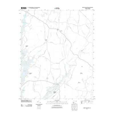
2011 Grist Mountain
Davidson County, NC
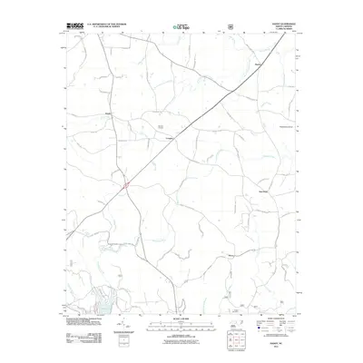
2011 Handy
Davidson County, NC
2011 High Rock
Davidson County, NC
2013 Churchland
Davidson County, NC
2013 Fair Grove
Davidson County, NC
2013 Grist Mountain
Davidson County, NC
2013 Handy
Davidson County, NC
2013 High Point West
Davidson County, NC
2013 High Rock
Davidson County, NC
2013 Lexington East
Davidson County, NC
2013 Lexington West
Davidson County, NC
2016 Churchland
Davidson County, NC
2016 Fair Grove
Davidson County, NC
2016 Grist Mountain
Davidson County, NC
2016 Handy
Davidson County, NC
2016 High Point West
Davidson County, NC
2016 High Rock
Davidson County, NC
2016 Lexington East
Davidson County, NC
2016 Lexington West
Davidson County, NC
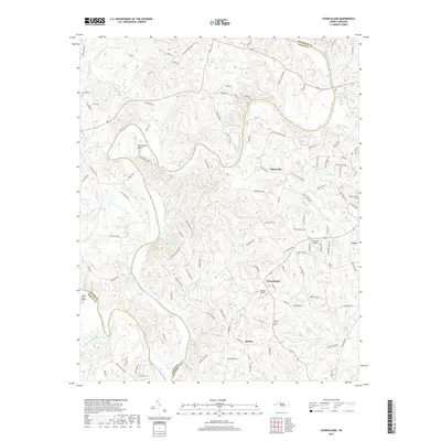
2019 Churchland
Davidson County, NC
2019 Fair Grove
Davidson County, NC
2019 Grist Mountain
Davidson County, NC
2019 Handy
Davidson County, NC
2019 High Point West
Davidson County, NC
2019 High Rock
Davidson County, NC
2019 Lexington East
Davidson County, NC
2019 Lexington West
Davidson County, NC
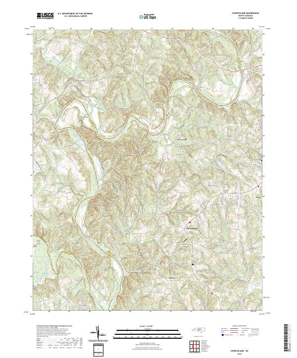
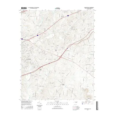
2022 Churchland
Davidson County, NC
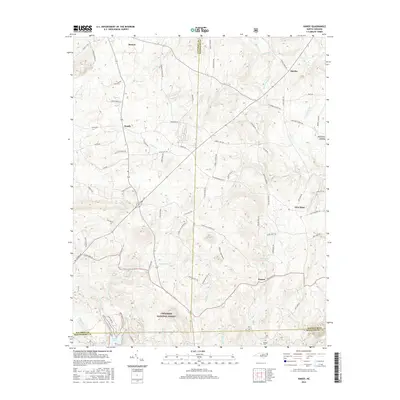
2022 Fair Grove
Davidson County, NC
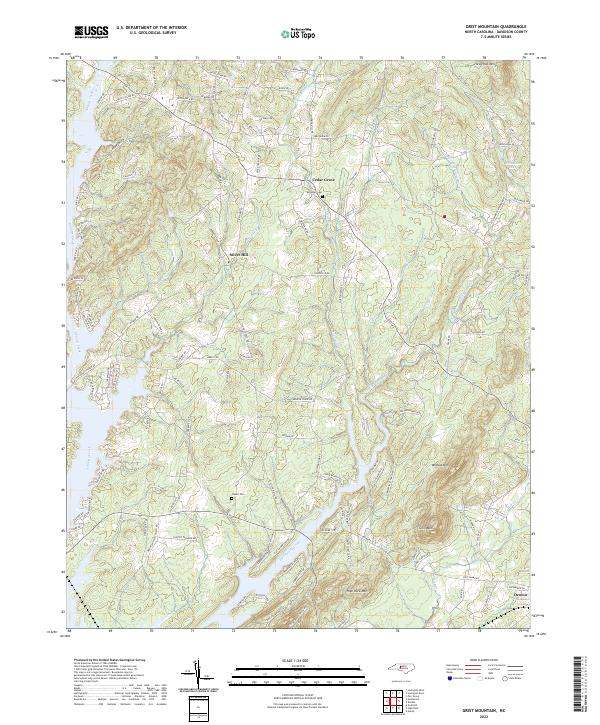
2022 Grist Mountain
Davidson County, NC
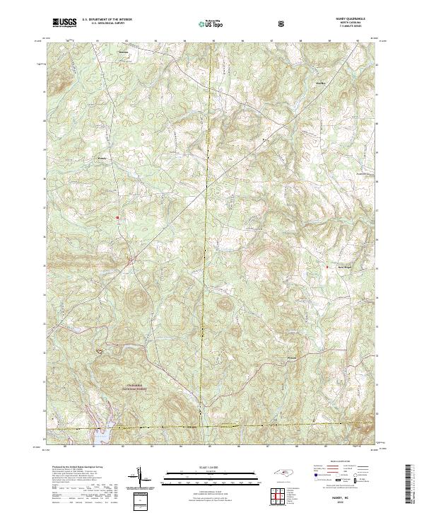
2022 Handy
Davidson County, NC
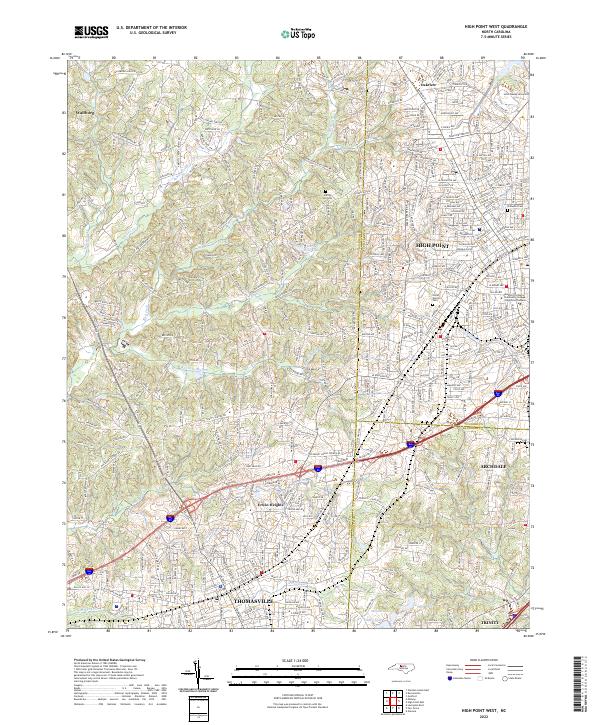
2022 High Point West
Davidson County, NC
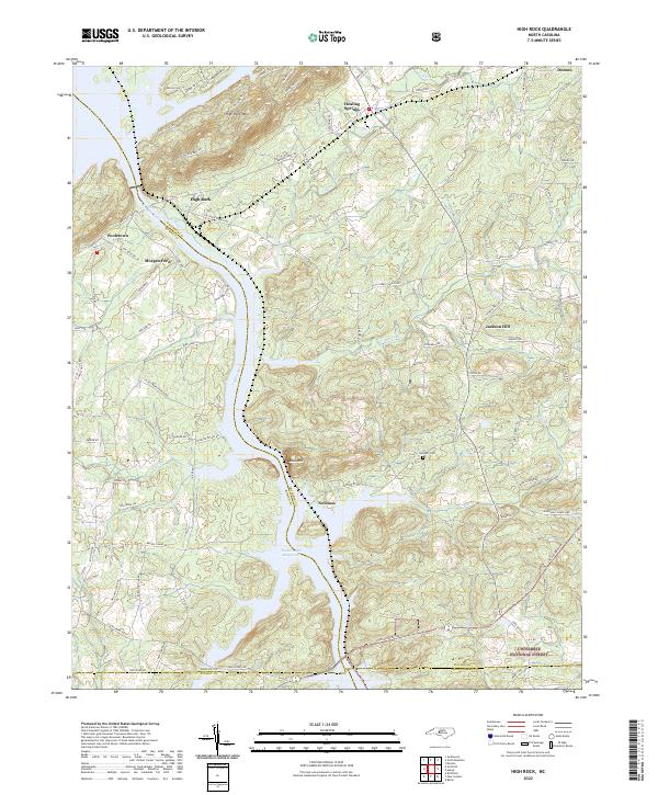
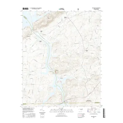
2022 High Rock
Davidson County, NC
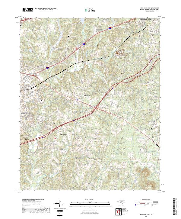
2022 Lexington East
Davidson County, NC
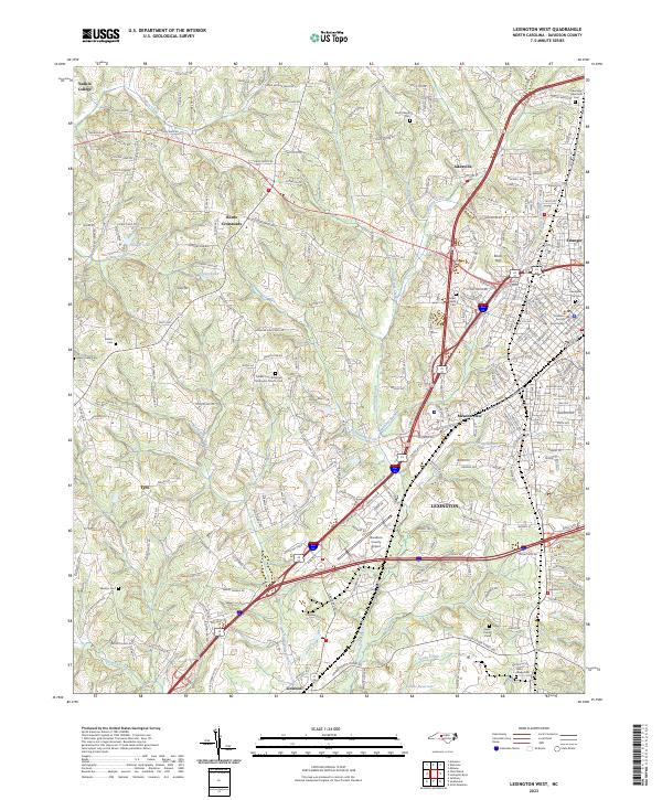
2023 Lexington West
Davidson County, NC