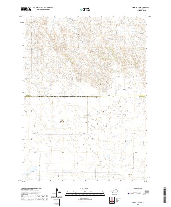
2021 Map of Fairchild Ranch
USGS Topo · Published 2021About this map
Fairchild Ranch sits at the northern edge of this high plains landscape, where the seasonal drainage of Cedar Creek carves a path through the undulating terrain. This 2021 survey reveals a strictly organized grid of rural section roads, including RD 123 and RD 62, which define the agricultural divisions of the Nebraska Panhandle. The map illustrates the boundary between Morrill and Cheyenne Counties, showing how modern infrastructure and property lines overlay the natural topography of the Great Plains. Water is the primary shaper of the land here, with Cedar Cr and its tributaries creating subtle breaks in the expansive ranchland. The layout of these roads and the placement of the ranch itself offer insight into the logistical network required to manage large-scale operations in this part of western Nebraska.
Find a feature on this map
23 named features on this map. Tap any name to fly to it.
Don’t see what you’re looking for? This feature index may not catch every label — zoom into the map to look around manually.
Map Details
Editions of this 2021 Fairchild Ranch Map
This is the sole edition of this map. No revisions or reprints were ever made.
Other maps of this area

1896 · Browns Creek
USGS Topo · 1:125,000

1899 · Browns Creek
USGS Topo · 1:125,000

1899 · Sidney
USGS Topo · 1:125,000

1954 · Scottsbluff
USGS Topo · 1:250,000

1958 · Scottsbluff
USGS Topo · 1:250,000

1965 · Broadwater
USGS Topo · 1:24,000

1965 · Broadwater SW
USGS Topo · 1:24,000

1971 · Tar Valley SW
USGS Topo · 1:24,000

1972 · Lisco NW
USGS Topo · 1:24,000

1972 · Gurley
USGS Topo · 1:24,000