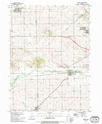
1993 Map of Fairfax
USGS Topo · Published 1994About this map
The prairie landscape of western Linn and eastern Benton counties is defined by the winding course of Prairie Creek and the established rural settlements of Fairfax, Atkins, and Walford. This 1993 revision documents the late 20th-century character of these agricultural communities, where the legacy of early settlers is preserved in local landmarks like St Stephens Sch and several family-linked burial grounds including Sisley Grove Cem and Fairfax Cem.
Find a feature on this map
50 named features on this map. Tap any name to fly to it.
Don’t see what you’re looking for? This feature index may not catch every label — zoom into the map to look around manually.
Map Details
Editions of this 1993 Fairfax Map
This is the sole edition of this map. No revisions or reprints were ever made.
Other maps of this area

1887 · Cedar Rapids
USGS Topo · 1:62,500

1888 · Shellsburg
USGS Topo · 1:62,500

1888 · Marion
USGS Topo · 1:62,500

1888 · Amana
USGS Topo · 1:62,500

1889 · Marion
USGS Topo · 1:62,500

1889 · Amana
USGS Topo · 1:62,500

1889 · Shellsburg
USGS Topo · 1:62,500

1891 · Cedar Rapids
USGS Topo · 1:62,500

1899 · Amana
USGS Topo · 1:62,500

1899 · Shellsburg
USGS Topo · 1:62,500