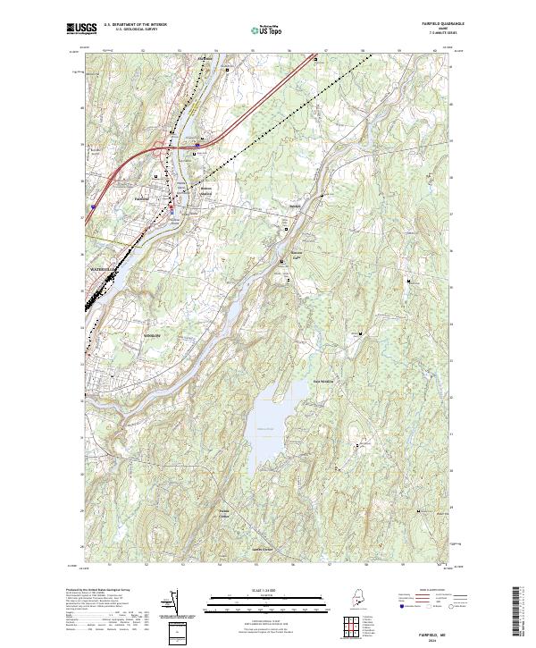
2024 Map of Fairfield
USGS Topo · Published 2024About this map
Kennebec River flows southward through this Central Maine corridor, serving as the historical and industrial spine for the towns of Fairfield, Benton Station, and the northern edge of Waterville. The landscape is defined by the convergence of major waterways, including the Sebasticook River and the expansive Pattee Pond, which sit amidst a network of rural settlements like Benton Falls and Paines Corner. The map captures a mix of academic and transportation infrastructure, from the Kennebec Valley Community College campus to the Pan Am Railways line and the Bob-Mar Airport. Numerous family and community burial grounds, such as Ames Cem, Holt Cem, and the Barton - Hinds Cem, are documented across the terrain, offering a clear record of the area's genealogical history. The river itself is punctuated by several named landforms, including Lily Island and Gulliver Island, reflecting the complex hydrology of this riverine environment.
Find a feature on this map
117 named features on this map. Tap any name to fly to it.
Don’t see what you’re looking for? This feature index may not catch every label — zoom into the map to look around manually.
Map Details
Editions of this 2024 Fairfield Map
This is the sole edition of this map. No revisions or reprints were ever made.
Other maps of this area

1892 · Waterville
USGS Topo · 1:62,500

1893 · Vassalboro
USGS Topo · 1:62,500

1898 · Vassalboro
USGS Topo · 1:62,500

1916 · Liberty
USGS Topo · 1:62,500

1926 · Burnham
USGS Topo · 1:62,500

1941 · Vassalboro
USGS Topo · 1:62,500

1942 · Liberty
USGS Topo · 1:62,500

1943 · Vassalboro
USGS Topo · 1:62,500

1943 · Waterville
USGS Topo · 1:62,500

1948 · Bangor
USGS Topo · 1:250,000