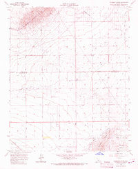
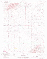
1965 Map of Fairmont Butte
USGS Topo · Published 1967About this map
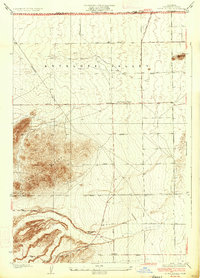
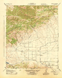
Fairmont Butte and the Antelope Buttes dominate this high-desert landscape during the mid-1960s, marking the transition between the valley floor and the foothills. The area is defined by a rigid grid of unpaved thoroughfares such as Avenue A through Avenue D and various north-south routes including 170th Street West. These roads serve a sparse collection of rural developments characterized by numerous wells and specialized structures like the Storage Bin and a Water Tank.
Find a feature on this map
26 named features on this map. Tap any name to fly to it.
Don’t see what you’re looking for? This feature index may not catch every label — zoom into the map to look around manually.
Map Details
Editions of this 1965 Fairmont Butte Map
2 editions found
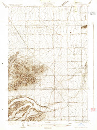
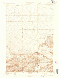
Other maps of this area

1903 · Tejon
USGS Topo · 1:125,000

1915 · Elizabeth Lake
USGS Topo · 1:125,000

1917 · Elizabeth Lake
USGS Topo · 1:125,000
1931 · Little Buttes
USGS Topo · 1:24,000
1932 · Fairmont
USGS Topo · 1:24,000
1933 · Manzana
USGS Topo · 1:24,000
1934 · Little Buttes
USGS Topo · 1:24,000
1937 · Fairmont
USGS Topo · 1:24,000
1938 · Manzana
USGS Topo · 1:24,000
1943 · Neenach
USGS Topo · 1:62,500