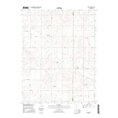
2015 Map of Fairport
USGS Topo · Published 2015About this map
The Saline River winds through the heart of the central Kansas prairie in this 2015 record of the landscape on the border of Ellis and Russell Counties. The small community of Fairport serves as the focal point for this rural area, centered at the junction of Paradise Fairport Rd and 176 Blvd. Just to the north of the settlement sits the Fairport Cem, a vital site for genealogical research in this sparsely populated region.
Find a feature on this map
35 named features on this map. Tap any name to fly to it.
Don’t see what you’re looking for? This feature index may not catch every label — zoom into the map to look around manually.
Map Details
Editions of this 2015 Fairport Map
This is the sole edition of this map. No revisions or reprints were ever made.
Other maps of this area

1896 · Osborne
USGS Topo · 1:125,000

1896 · Russell
USGS Topo · 1:125,000

1896 · Hays
USGS Topo · 1:125,000

1896 · Plainville
USGS Topo · 1:125,000

1955 · Great Bend
USGS Topo · 1:250,000

1955 · Beloit
USGS Topo · 1:250,000

1957 · Great Bend
USGS Topo · 1:250,000

1958 · Great Bend
USGS Topo · 1:250,000

1959 · Beloit
USGS Topo · 1:250,000

1961 · Catharine
USGS Topo · 1:24,000