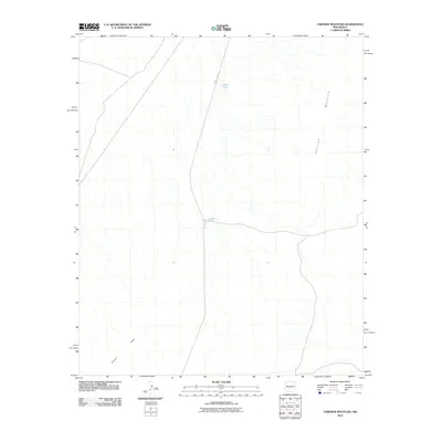
2010 Map of Fairview Mountain
USGS Topo · Published 2010About this map
Fairview Mountain rises as the dominant topographic feature in this arid landscape of Socorro County, New Mexico. The 2010 survey highlights a sparse infrastructure, primarily defined by remote service roads like WSMR P Route 13 and critical water catchments such as Martin Tank and Ladder Tank. These features indicate the area's utility for range management or military range support, where water resources are the primary landmarks. In the southwestern portion of the map, the Poison Hills provide additional vertical relief, illustrating the typical high-desert terrain where drainage patterns and isolated peaks dictate movement across the land. The absence of residential settlements reflects the protected or utilitarian nature of this specific high-elevation environment.
Find a feature on this map
5 named features on this map. Tap any name to fly to it.
Don’t see what you’re looking for? This feature index may not catch every label — zoom into the map to look around manually.
Map Details
Editions of this 2010 Fairview Mountain Map
This is the sole edition of this map. No revisions or reprints were ever made.
Other maps of this area

1916 · Salinas Peak
USGS Topo · 1:125,000

1916 · Tularosa
USGS Topo · 1:125,000

1918 · Oscura Peak
USGS Topo · 1:125,000

1947 · Capitol Peak
USGS Topo · 1:62,500

1948 · Granjean Well
USGS Topo · 1:62,500

1948 · Mockingbird Gap
USGS Topo · 1:62,500

1948 · Salinas Peak
USGS Topo · 1:62,500

1954 · Tularosa
USGS Topo · 1:250,000

1958 · Tularosa
USGS Topo · 1:250,000

1981 · Big Gyp Mountain
USGS Topo · 1:24,000