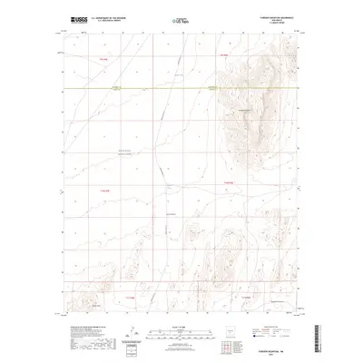
2023 Map of Fairview Mountain
USGS Topo · Published 2023About this map
The White Sands Missile Range occupies a significant portion of this high-desert landscape in Sierra and Socorro counties, where restricted military land use preserves the open character of the terrain. Dominating the eastern topography is Fairview Mountain, a prominent peak that rises above the surrounding plains and draws. This arid environment is defined by essential water points such as Martin Tank and Ladder Tank, which represent the historical and modern reliance on water management for ranching or military utility in a region of sparse resources.
Find a feature on this map
16 named features on this map. Tap any name to fly to it.
Don’t see what you’re looking for? This feature index may not catch every label — zoom into the map to look around manually.
Map Details
Editions of this 2023 Fairview Mountain Map
This is the sole edition of this map. No revisions or reprints were ever made.
Other maps of this area

1916 · Salinas Peak
USGS Topo · 1:125,000

1916 · Tularosa
USGS Topo · 1:125,000

1918 · Oscura Peak
USGS Topo · 1:125,000

1947 · Capitol Peak
USGS Topo · 1:62,500

1948 · Granjean Well
USGS Topo · 1:62,500

1948 · Mockingbird Gap
USGS Topo · 1:62,500

1948 · Salinas Peak
USGS Topo · 1:62,500

1954 · Tularosa
USGS Topo · 1:250,000

1958 · Tularosa
USGS Topo · 1:250,000

1981 · Big Gyp Mountain
USGS Topo · 1:24,000