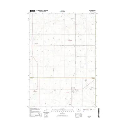
2015 Map of Faith
USGS Topo · Published 2015About this map
Faith serves as a critical rural hub in the high plains of South Dakota, situated where the northern edge of Meade County meets Perkins County. This 2015 survey reveals a town structure organized around Railway St W, reflecting a layout influenced by the historical transport corridors that shaped its growth. The landscape is defined by the drainages of Flint Rock Cr and Spook Cr, which carve through the open country surrounding the settlement. For those researching local heritage, the map provides precise locations for both Faith Cem and Saint Joseph Cem, positioned on the periphery of the town. Outside the central grid, unique landmarks like Rattlesnake Petes Pond and the Faith Municipal Airport punctuate the vast grazing lands and ranch roads, including Flint Rock RD and Arrowhead Rd, that connect this isolated community.
Find a feature on this map
34 named features on this map. Tap any name to fly to it.
Don’t see what you’re looking for? This feature index may not catch every label — zoom into the map to look around manually.
Map Details
Editions of this 2015 Faith Map
This is the sole edition of this map. No revisions or reprints were ever made.
Other maps of this area

1951 · Redelm NW
USGS Topo · 1:24,000

1951 · Faith NE
USGS Topo · 1:24,000

1952 · Faith NW
USGS Topo · 1:24,000

1953 · Rapid City
USGS Topo · 1:250,000

1953 · McIntosh
USGS Topo · 1:250,000

1954 · Lemmon
USGS Topo · 1:250,000

1954 · Pierre
USGS Topo · 1:250,000

1957 · Lemmon
USGS Topo · 1:250,000

1957 · Rapid City
USGS Topo · 1:250,000

1958 · Pierre
USGS Topo · 1:250,000