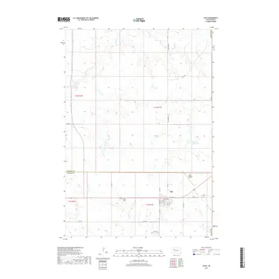
2017 Map of Faith
USGS Topo · Published 2017About this map
Faith stands as the primary hub of activity in this northern South Dakota landscape, situated at the junction of modern transit routes in Meade County. The terrain north of the town transitions into the open draws and drainage basins of Flint Rock Cr, which winds through the northern sections of the map. This 2017 survey reveals a landscape defined by its grid-based ranching and agricultural boundaries, punctuated by small water features like the uniquely named Rattlesnake Petes Pond. The concentration of infrastructure around the settlement contrasts with the expansive, sparsely populated sections of the Perkins County line to the north, reflecting the enduring rural character and central importance of the town to the surrounding prairie region.
Find a feature on this map
3 named features on this map. Tap any name to fly to it.
Don’t see what you’re looking for? This feature index may not catch every label — zoom into the map to look around manually.
Map Details
Editions of this 2017 Faith Map
This is the sole edition of this map. No revisions or reprints were ever made.
Other maps of this area

1951 · Redelm NW
USGS Topo · 1:24,000

1951 · Faith NE
USGS Topo · 1:24,000

1952 · Faith NW
USGS Topo · 1:24,000

1953 · Rapid City
USGS Topo · 1:250,000

1953 · McIntosh
USGS Topo · 1:250,000

1954 · Lemmon
USGS Topo · 1:250,000

1954 · Pierre
USGS Topo · 1:250,000

1957 · Lemmon
USGS Topo · 1:250,000

1957 · Rapid City
USGS Topo · 1:250,000

1958 · Pierre
USGS Topo · 1:250,000