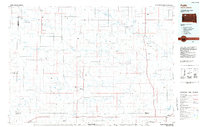
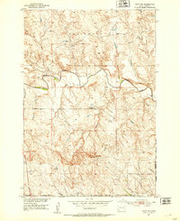
1984 Map of Faith
USGS Topo · Published 1984About this map
Faith anchors the southeastern corner of this Western South Dakota landscape, a region defined by the expansive drainage basins of the Moreau River and its numerous tributaries. The 1980s terrain is characterized by a network of isolated buttes and draws, including Rabbit Butte, Thunder Butte Creek, and the prominent Fox Ridge. Small, remote settlements like Sorum, Date, and Daviston are scattered across the plains, connected by a sparse road network and marked by utilitarian infrastructure such as the Bixby Gaging Station and various private airstrips like the Veal Landing Strip. The map illustrates a ranching and conservation-oriented economy, highlighted by the Sorum Dam State Game Production Area and the presence of Gravel Pits. Water management is central to life here, as evidenced by the namesake Mourine Lake and the intricate web of seasonal creeks like Rabbit Creek and Antelope Creek.
Find a feature on this map
92 named features on this map. Tap any name to fly to it.
Don’t see what you’re looking for? This feature index may not catch every label — zoom into the map to look around manually.
Map Details
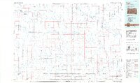
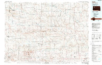
Editions of this 1984 Faith Map
3 editions found
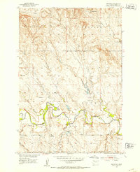
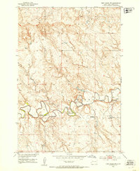
Other maps of this area

1913 · Newell
USGS Topo · 1:125,000

1935 · Reva
USGS Topo · 1:125,000

1935 · Hoover
USGS Topo · 1:125,000
1951 · Cedar Canyon
USGS Topo · 1:24,000

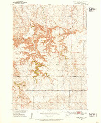
1951 · Maurine
USGS Topo · 1:24,000

1951 · Redelm NW
USGS Topo · 1:24,000
1951 · Faith NE
USGS Topo · 1:24,000
1951 · Imogene
USGS Topo · 1:24,000
1951 · Deep Creek NW
USGS Topo · 1:24,000
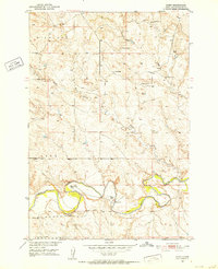
1951 · Bixby
USGS Topo · 1:24,000