
1956 Map of Fales Hot Springs
USGS Topo · Published 1960About this map
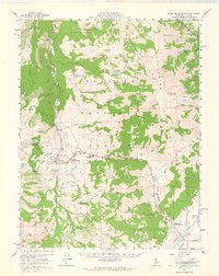
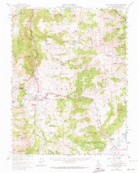
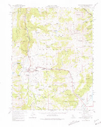
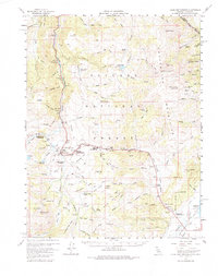
The West Walker River carves a deep path through the high country of the Toiyabe National Forest on this mid-century survey of the California-Nevada border. This area was a hub of mining and transit, evidenced by the cluster of camps and mining operations like the Tiger Mines, Kentuck Mine, and Montague Mine near the base of Mt Patterson. High-elevation settlements such as Belfort and Burcham illustrate the scattered nature of early development in the Mono County backcountry, while Sonora Junction Hardy Station marks a critical historical crossroads for travelers moving toward the Sierra crest.
Find a feature on this map
74 named features on this map. Tap any name to fly to it.
Don’t see what you’re looking for? This feature index may not catch every label — zoom into the map to look around manually.
Map Details
Editions of this 1956 Fales Hot Springs Map
5 editions found
Other maps of this area

1889 · Markleeville
USGS Topo · 1:125,000

1891 · Markleeville
USGS Topo · 1:125,000

1891 · Wellington
USGS Topo · 1:125,000

1893 · Markleeville
USGS Topo · 1:125,000

1893 · Wellington
USGS Topo · 1:125,000

1896 · Dardanelles
USGS Topo · 1:125,000

1898 · Dardanelles
USGS Topo · 1:125,000

1909 · Bridgeport
USGS Topo · 1:125,000

1911 · Bridgeport
USGS Topo · 1:125,000

1920 · Bridgeport
USGS Topo · 1:125,000