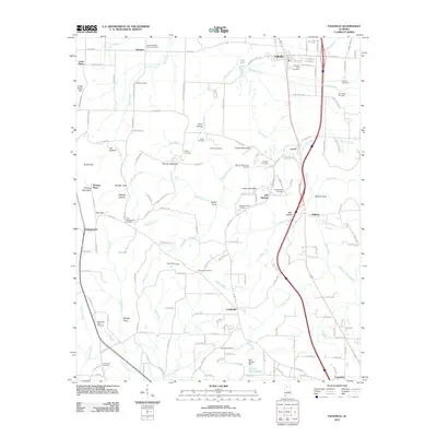
2011 Map of Falkville
USGS Topo · Published 2011About this map
Falkville serves as the primary hub in this portion of north-central Alabama, where the modern corridor of the interstate intersects with traditional rural settlements. The landscape is defined by a dense network of family-named cemeteries and landmarks, such as East Battleground Cemetery, McCroskey Cemetery, and the Zeke Hollow Camp Ground, reflecting generations of local lineage. The terrain is deeply carved by drainage systems like Flint Creek and its many tributaries, including Hurricane Creek and Indian Creek, which have dictated the placement of communities like Lacon and Bell Springs. These watercourses flow between prominent ridges such as Thomas Mountain and Burney Mountain, creating isolated pockets like Wilhite Cove and Milligan Cove. The presence of the Paul Rigsby Dam and Darrell Parker Pond highlights local water management in a region where topography and hydrology remain central to the community's structure.
Find a feature on this map
125 named features on this map. Tap any name to fly to it.
Don’t see what you’re looking for? This feature index may not catch every label — zoom into the map to look around manually.
Map Details
Editions of this 2011 Falkville Map
This is the sole edition of this map. No revisions or reprints were ever made.
Other maps of this area

1888 · Cullman
USGS Topo · 1:125,000

1892 · Cullman
USGS Topo · 1:125,000

1927 · Falkville
USGS Topo · 1:24,000

1935 · Danville
USGS Topo · 1:48,000

1936 · Mc Kendry
USGS Topo · 1:24,000

1936 · Hartselle
USGS Topo · 1:24,000

1936 · Eva
USGS Topo · 1:24,000

1936 · Somerville
USGS Topo · 1:24,000

1936 · Stroups Crossroads
USGS Topo · 1:24,000

1938 · Danville
USGS Topo · 1:62,500