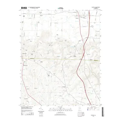
2014 Map of Falkville
USGS Topo · Published 2014About this map
Brindley Mountain dominates the center of this landscape, marking the transition between the rolling hills of southern Morgan County and the northern edge of Cullman County. This 2014 survey documents the topographic complexity of the Tennessee Valley Divide, where water flows toward disparate basins via drainage systems like Flint Creek and Sally Mike Creek. The settlement pattern follows the lower elevations and gaps, with Falkville serving as a primary hub along the northern rail and road corridor, while smaller communities like Lacon and Battleground are situated among the coves and hollows.
Find a feature on this map
82 named features on this map. Tap any name to fly to it.
Don’t see what you’re looking for? This feature index may not catch every label — zoom into the map to look around manually.
Map Details
Editions of this 2014 Falkville Map
This is the sole edition of this map. No revisions or reprints were ever made.
Other maps of this area

1888 · Cullman
USGS Topo · 1:125,000

1892 · Cullman
USGS Topo · 1:125,000

1927 · Falkville
USGS Topo · 1:24,000

1935 · Danville
USGS Topo · 1:48,000

1936 · Mc Kendry
USGS Topo · 1:24,000

1936 · Hartselle
USGS Topo · 1:24,000

1936 · Eva
USGS Topo · 1:24,000

1936 · Somerville
USGS Topo · 1:24,000

1936 · Stroups Crossroads
USGS Topo · 1:24,000

1938 · Danville
USGS Topo · 1:62,500