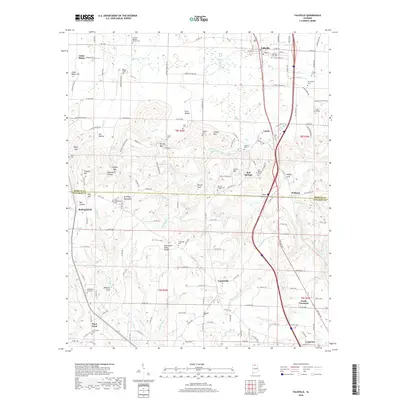
2018 Map of Falkville
USGS Topo · Published 2018About this map
The Tennessee Valley Divide cuts through this portion of northern Alabama, separating the headwaters of Flint Cr from the southward-draining Little Rock Cr. The landscape is defined by the sharp transition at Brindley Mountain and the Morgan and Cullman county line. Established settlements like Falkville and Lacon follow the rail and highway corridor in the north, while the southern reaches feature smaller communities such as Battleground and South Vinemont. Genealogists will find a high density of burial sites across the terrain, from the Falkville City Cem to the more secluded Friendship Cem and Bethlehem West Cem. The map documents a complex topography of coves and gaps, including Wilhite Cove and Stringer Gap, which historically dictated the movement of goods and people between the valley and the plateau.
Find a feature on this map
172 named features on this map. Tap any name to fly to it.
Don’t see what you’re looking for? This feature index may not catch every label — zoom into the map to look around manually.
Map Details
Editions of this 2018 Falkville Map
This is the sole edition of this map. No revisions or reprints were ever made.
Other maps of this area

1888 · Cullman
USGS Topo · 1:125,000

1892 · Cullman
USGS Topo · 1:125,000

1927 · Falkville
USGS Topo · 1:24,000

1935 · Danville
USGS Topo · 1:48,000

1936 · Mc Kendry
USGS Topo · 1:24,000

1936 · Hartselle
USGS Topo · 1:24,000

1936 · Eva
USGS Topo · 1:24,000

1936 · Somerville
USGS Topo · 1:24,000

1936 · Stroups Crossroads
USGS Topo · 1:24,000

1938 · Danville
USGS Topo · 1:62,500