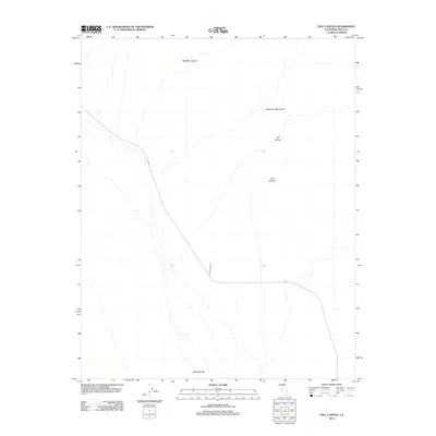
2012 Map of Fall Canyon
USGS Topo · Published 2012About this map
The Grapevine Mountains dominate the eastern landscape of this Inyo County study, where deep drainage systems carve through the desert terrain. This 2012 survey captures the transition from high mountain slopes down to the broad expanse of Mesquite Flat in the south. The area is defined by its significant geological features, including the notable Red Wall Canyon, Fall Canyon, and Titus Canyon. Human access to this arid environment is limited to a few specific corridors, primarily the N Hwy and the unpaved Titus Canyon Rd, which tracks the wash of its namesake canyon. The mapping emphasizes the natural topography and the sparse infrastructure required to navigate this portion of the California desert.
Find a feature on this map
7 named features on this map. Tap any name to fly to it.
Don’t see what you’re looking for? This feature index may not catch every label — zoom into the map to look around manually.
Map Details
Editions of this 2012 Fall Canyon Map
This is the sole edition of this map. No revisions or reprints were ever made.
Other maps of this area

1908 · Ballarat
USGS Topo · 1:250,000

1913 · Ballarat
USGS Topo · 1:250,000

1948 · Death Valley
USGS Topo · 1:250,000

1951 · Marble Canyon
USGS Topo · 1:62,500

1952 · Stovepipe Wells
USGS Topo · 1:62,500

1954 · Death Valley
USGS Topo · 1:250,000

1956 · Death Valley
USGS Topo · 1:250,000

1957 · Death Valley
USGS Topo · 1:250,000
1957 · Grapevine Peak
USGS Topo · 1:62,500

1957 · Tin Mountain
USGS Topo · 1:62,500