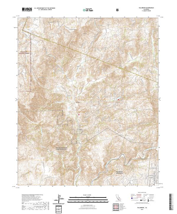
2021 Map of Fallbrook
USGS Topo · Published 2021About this map
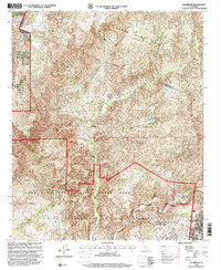
De Luz and the surrounding tablelands of the Santa Ana Mountains define this corner of the California coast range as it appeared in 2021. The landscape is marked by prominent flat-topped features like Redonda Mesa and Avenaloca Mesa, while the northern reaches of Marine Corps Base Camp Pendleton occupy the southwestern quadrant. This survey reveals a complex network of canyons and drainage systems, including Las Pulgas Canyon, Devil Canyon, and Aliso Canyon, which channel seasonal flow toward the Santa Margarita River.
Find a feature on this map
108 named features on this map. Tap any name to fly to it.
Don’t see what you’re looking for? This feature index may not catch every label — zoom into the map to look around manually.
Map Details
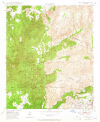
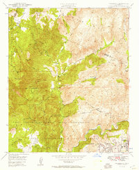
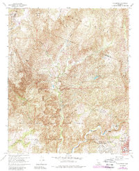
Editions of this 2021 Fallbrook Map
This is the sole edition of this map. No revisions or reprints were ever made.
Historical Maps of Fallbrook Through Time
5 maps found
Featured Locations
- Fallbrook, CA
- De Luz, CA
- De Luz Heights, CA
- Marine Corps Base Camp Pendleton, CA
- Santa Margarita Groves, CA