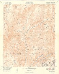
1949 Map of Fallbrook
USGS Topo · Published 1949About this map
Fallbrook sits at the southern edge of this 1940s landscape, serving as a gateway to a region defined by substantial military holdings and dispersed ranching estates. Much of the southern and central terrain is occupied by the Camp Joseph H Pendleton Naval Reservation and the Fallbrook Naval Reservation, which flank the winding course of the Santa Margarita River. A network of strategic Firebreak lines cuts through the topography, reflecting the era's focus on land management and military preparedness.
Find a feature on this map
30 named features on this map. Tap any name to fly to it.
Don’t see what you’re looking for? This feature index may not catch every label — zoom into the map to look around manually.
Map Details
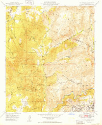
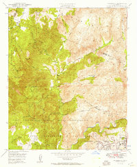
Editions of this 1949 Fallbrook Map
3 editions found
Other maps of this area

1901 · Southern California Sheet No. 1
USGS Topo · 1:250,000

1901 · Elsinore
USGS Topo · 1:125,000

1901 · San Luis Rey
USGS Topo · 1:125,000

1904 · Southern California Sheet No. 2
USGS Topo · 1:250,000

1904 · Southern California Sheet No. 1
USGS Topo · 1:250,000

1941 · Margarita Peak
USGS Topo · 1:62,500

1942 · Lake Elsinore
USGS Topo · 1:62,500

1942 · Margarita Peak
USGS Topo · 1:62,500

1942 · Temecula
USGS Topo · 1:62,500

1942 · Murrieta
USGS Topo · 1:62,500
Featured Places
- Fallbrook, CA
- Marine Corps Base Camp Pendleton, CA
- Santa Margarita Groves, CA
- De Luz Heights, CA
- De Luz, CA