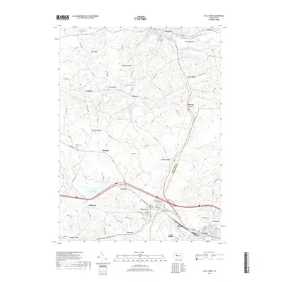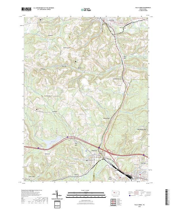
2023 Map of Falls Creek
USGS Topo · Published 2023About this map
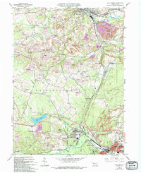
Falls Creek and the neighboring city of Dubois serve as the focal point for this study of the borderlands between Jefferson and Clearfield counties. The landscape is defined by the legacy of industrial processing and transportation, evident in sites like the Adrian Furnace and the namesake Red Mill along the waterway. Settlement patterns follow the winding paths of the region's many runs, with established communities like Brockway, Lanes Mills, and Crenshaw situated near the confluence of Little Toby Creek and other major drainages. Local family history is well-preserved through numerous rural burial grounds, including the Beechwoods and Taylor cemeteries. Moving away from the valley floors, the topography rises toward Sugar Hill, while modern developments like Treasure Lake contrast with older hamlet names such as Beechton and Pancoast.
Find a feature on this map
132 named features on this map. Tap any name to fly to it.
Don’t see what you’re looking for? This feature index may not catch every label — zoom into the map to look around manually.
Map Details
Editions of this 2023 Falls Creek Map
This is the sole edition of this map. No revisions or reprints were ever made.
Historical Maps of Sandy Township Through Time
6 maps found