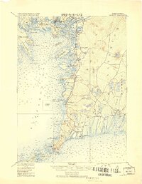
1920 Map of Falmouth
USGS Topo · Published 1920About this map
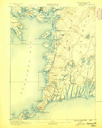
Buzzards Bay dominates the western shoreline of this 1920 military survey, which documents the maritime and rail-connected landscape of Falmouth and its surrounding villages. The arrival of the Woods Hole Branch of Old Colony RR shaped the early 20th-century development of the region, terminating at Woods Hole and serving key stops like Falmouth Station. Along the intricate coastline, crucial navigation aids such as Bird Island Light, Wing's Neck Light, and Nobska Point Light highlight the era's reliance on lighthouse infrastructure for safe passage through local harbors.
Find a feature on this map
111 named features on this map. Tap any name to fly to it.
Don’t see what you’re looking for? This feature index may not catch every label — zoom into the map to look around manually.
Map Details
Editions of this 1920 Falmouth Map
This is the sole edition of this map. No revisions or reprints were ever made.
Other maps of this area
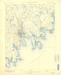
1885 · New Bedford
USGS Topo · 1:62,500

1885 · Middleboro
USGS Topo · 1:62,500
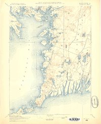
1886 · Falmouth
USGS Topo · 1:62,500
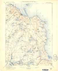
1886 · Plymouth
USGS Topo · 1:62,500
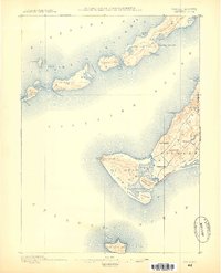
1887 · Gay Head
USGS Topo · 1:62,500
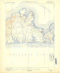
1887 · Marthas Vineyard
USGS Topo · 1:62,500
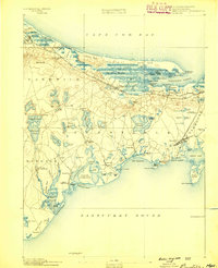
1888 · Barnstable
USGS Topo · 1:62,500
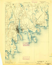
1888 · New Bedford
USGS Topo · 1:62,500
1888 · Falmouth
USGS Topo · 1:62,500
1888 · Middleboro
USGS Topo · 1:62,500