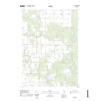
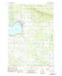
2023 Map of Falmouth
USGS Topo · Published 2023About this map
Falmouth sits at the northern edge of this Missaukee County landscape, where the Clam River winds through a patchwork of agricultural lands and wetlands. The settlement pattern is defined by several distinct community centers, including Prosper to the northeast and Vogel Center further south. Local genealogy is well-preserved through the inclusion of several burial grounds, such as Clam Union Cem, Prosper Cem, and the Vogel Center Cem, each serving their respective namesake communities.
Find a feature on this map
67 named features on this map. Tap any name to fly to it.
Don’t see what you’re looking for? This feature index may not catch every label — zoom into the map to look around manually.
Map Details
Editions of this 2023 Falmouth Map
This is the sole edition of this map. No revisions or reprints were ever made.
Other maps of this area

1954 · Traverse City
USGS Topo · 1:250,000
1956 · Houghton Lake
USGS Topo · 1:62,500
1956 · Lake City
USGS Topo · 1:62,500
1957 · Harrison
USGS Topo · 1:62,500
1957 · Marion
USGS Topo · 1:62,500

1958 · Traverse City
USGS Topo · 1:250,000
1983 · Cadillac
USGS Topo · 1:100,000
1983 · Temple
USGS Topo · 1:25,000
1983 · Moddersville
USGS Topo · 1:25,000
1983 · Lake City
USGS Topo · 1:25,000