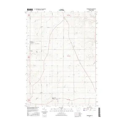
2015 Map of Farmersburg
USGS Topo · Published 2015About this map
Farmersburg stands as the primary hub of this agricultural landscape in northeastern Iowa, surrounded by a high density of rural burial grounds that speak to the area's deep-rooted pioneer genealogy. The map documents a significant concentration of local heritage sites, including the National Cem to the east and the Colony Catholic Cem and Zion Lutheran Cem near Clayton Center to the south. These cemeteries, often associated with specific family names like the Winkawitsch Cem or the Farmersburg - Wagner Cem, suggest a pattern of early settlement tied to ethnic and religious enclaves.
Find a feature on this map
53 named features on this map. Tap any name to fly to it.
Don’t see what you’re looking for? This feature index may not catch every label — zoom into the map to look around manually.
Map Details
Editions of this 2015 Farmersburg Map
This is the sole edition of this map. No revisions or reprints were ever made.
Other maps of this area

1902 · Elkader
USGS Topo · 1:125,000

1903 · Waukon
USGS Topo · 1:125,000

1929 · Prairie Du Chien
USGS Topo · 1:62,500

1932 · Prairie Du Chien
USGS Topo · 1:62,500

1958 · La Crosse
USGS Topo · 1:250,000

1959 · Dubuque
USGS Topo · 1:250,000

1961 · Dubuque
USGS Topo · 1:250,000

1961 · La Crosse
USGS Topo · 1:250,000

1962 · Dubuque
USGS Topo · 1:250,000

1962 · Clayton
USGS Topo · 1:24,000