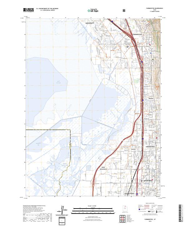
2023 Map of Farmington
USGS Topo · Published 2023About this map
The Wasatch Range meets the eastern shores of the Great Salt Lake on this detailed topographic study of Davis County. The landscape is defined by the sharp transition from the steep canyons of the mountains, such as Farmington Canyon, to the sprawling marshes and wetlands of Farmington Bay. A string of established communities, including Farmington, Kaysville, and West Bountiful, are linked by a complex infrastructure of roads and rail, most notably Lagoon Dr and the Legacy Parkway Trl.
Find a feature on this map
134 named features on this map. Tap any name to fly to it.
Don’t see what you’re looking for? This feature index may not catch every label — zoom into the map to look around manually.
Map Details
Editions of this 2023 Farmington Map
This is the sole edition of this map. No revisions or reprints were ever made.
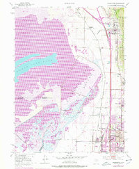
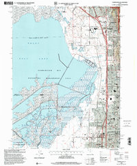
Historical Maps of Meadowbrook Through Time
3 maps found