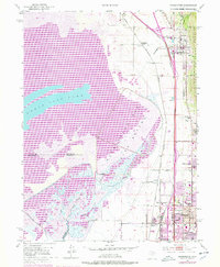
1952 Map of Farmington
USGS Topo · Published 1978About this map
The eastern shores of the Great Salt Lake define this landscape, where the Farmington Bay Bird Refuge meets a growing corridor of settlements along the base of the mountains. This mid-century survey captures the region as residential expansion began to bridge the gaps between historic towns like Farmington and Bountiful. The transportation network is dominated by the parallel routes of the Union Pacific and the Denver and Rio Grande Western railroads, which serviced industrial and agricultural needs at Farmington Siding and Woods Cross Siding.
Find a feature on this map
44 named features on this map. Tap any name to fly to it.
Don’t see what you’re looking for? This feature index may not catch every label — zoom into the map to look around manually.
Map Details
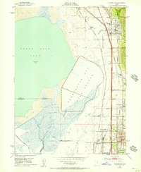
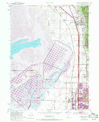
Editions of this 1952 Farmington Map
4 editions found
Other maps of this area

1885 · Salt Lake
USGS Topo · 1:250,000

1885 · Tooele Valley
USGS Topo · 1:250,000

1925 · Ft. Douglas
USGS Topo · 1:125,000

1928 · Ft. Douglas
USGS Topo · 1:125,000

1950 · Fort Douglas
USGS Topo · 1:24,000

1951 · Fort Douglas
USGS Topo · 1:24,000

1951 · Saltair
USGS Topo · 1:24,000

1951 · Salt Lake City North
USGS Topo · 1:24,000

1952 · Saltair NE
USGS Topo · 1:24,000

1952 · Farmington
USGS Topo · 1:24,000