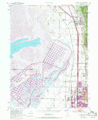
1952 Map of Farmington
USGS Topo · Published 1971About this map
The eastern shores of the Great Salt Lake define this Davis County landscape, where the vast Mud Flat meets a corridor of burgeoning settlements. This survey shows the transition from the marshy environments of the Farmington Bird Refuge to the established neighborhoods of Farmington, Centerville, and Bountiful. A complex transportation network, including the Union Pacific Railroad and the Denver and Rio Grande Western Railroad, runs parallel to the Wasatch Range foothills, facilitating the growth of industrial and recreational sites like the Lagoon amusement area. The map captures a moment of suburban expansion, noting local landmarks such as South Davis High School and the Stoker School, alongside older rural features like the Burnham Gun Club situated near the Old River Channel.
Find a feature on this map
40 named features on this map. Tap any name to fly to it.
Don’t see what you’re looking for? This feature index may not catch every label — zoom into the map to look around manually.
Map Details
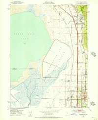
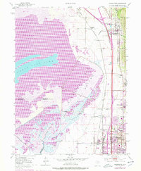
Editions of this 1952 Farmington Map
4 editions found
Other maps of this area

1885 · Salt Lake
USGS Topo · 1:250,000

1885 · Tooele Valley
USGS Topo · 1:250,000

1925 · Ft. Douglas
USGS Topo · 1:125,000

1928 · Ft. Douglas
USGS Topo · 1:125,000

1950 · Fort Douglas
USGS Topo · 1:24,000

1951 · Fort Douglas
USGS Topo · 1:24,000

1951 · Saltair
USGS Topo · 1:24,000

1951 · Salt Lake City North
USGS Topo · 1:24,000

1952 · Saltair NE
USGS Topo · 1:24,000

1952 · Farmington
USGS Topo · 1:24,000