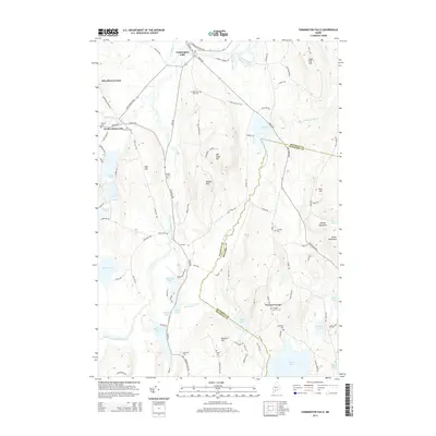
2014 Map of Farmington Falls
USGS Topo · Published 2014About this map
Farmington Falls sits at a critical bend in the Sandy River, where local roads converge near the northern edge of the Franklin and Kennebec county lines. This central Maine landscape is defined by its glacial heritage, characterized by numerous water bodies like Parker Pond, Norcross Pond, and Crowell Pond interspersed among prominent elevations such as Vienna Mountain and Cape Cod Hill. The distribution of small settlements like North Chesterville and Knowltons Corner reflects a traditional rural layout, with development concentrated along established routes like Vienna Rd and Farmington Falls Rd.
Find a feature on this map
103 named features on this map. Tap any name to fly to it.
Don’t see what you’re looking for? This feature index may not catch every label — zoom into the map to look around manually.
Map Details
Editions of this 2014 Farmington Falls Map
This is the sole edition of this map. No revisions or reprints were ever made.
Other maps of this area

1892 · Augusta
USGS Topo · 1:62,500

1894 · Norridgewock
USGS Topo · 1:62,500

1898 · Norridgewock
USGS Topo · 1:62,500

1910 · Livermore
USGS Topo · 1:62,500

1912 · Livermore
USGS Topo · 1:62,500

1924 · Farmington
USGS Topo · 1:62,500

1941 · Livermore
USGS Topo · 1:62,500

1941 · Augusta
USGS Topo · 1:62,500

1943 · Augusta
USGS Topo · 1:62,500

1943 · Norridgewock
USGS Topo · 1:62,500