
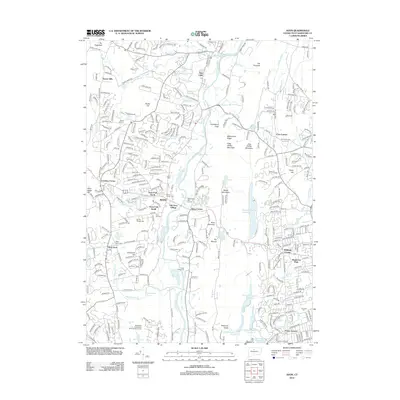
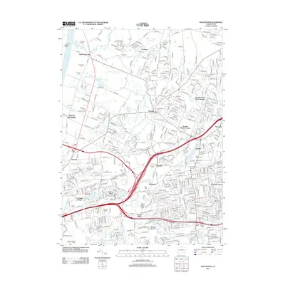
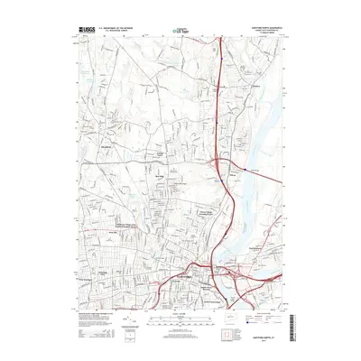
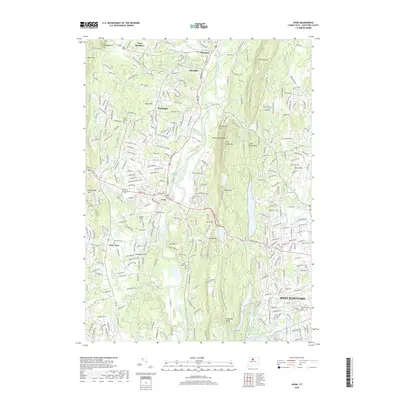
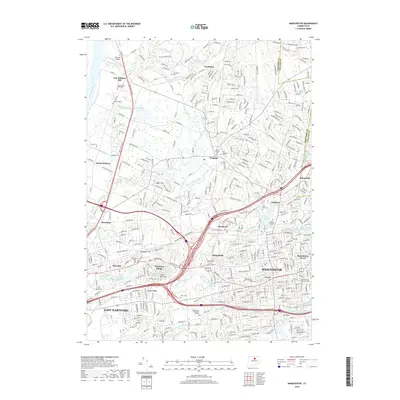
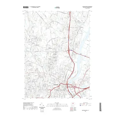
1906 Map of Farmington
USGS Topo · Published 1924About this map
The Farmington River carves a path through this late nineteenth-century landscape, anchoring a network of industrial villages and early transit corridors. Industrial development is evident in the dense rail infrastructure, including the Central New England RR and the NY NH & H RR, which connected manufacturing centers like New Britain and Bristol to the broader Connecticut valley. Long-established travel routes like the Hartford and Litchfield Turnpike underscore the area's importance as a regional crossroads prior to the automobile era.
Find a feature on this map
253 named features on this map. Tap any name to fly to it.
Don’t see what you’re looking for? This feature index may not catch every label — zoom into the map to look around manually.
Map Details
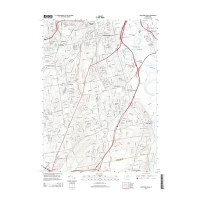
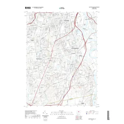
Editions of this 1906 Farmington Map
2 editions found

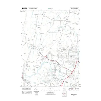
Historical Maps of Hartford Through Time
54 maps found

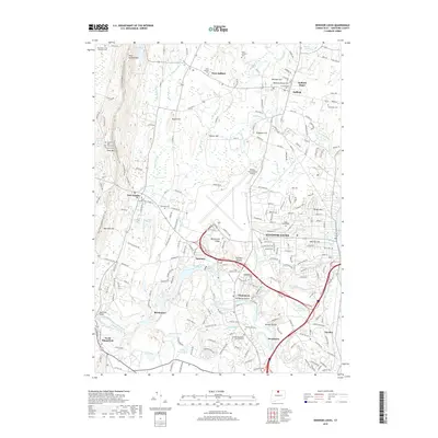
1892 Granby
Hartford County, CT
1906 Farmington
Hartford County, CT

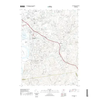
1928 Glastonbury
Hartford County, CT

1928 Manchester
Hartford County, CT

1928 Mittineague
Hartford County, CT

1928 Windsor
Hartford County, CT

1928 Windsor Locks
Hartford County, CT

1944 Hartford South
Hartford County, CT

1944 Manchester
Hartford County, CT

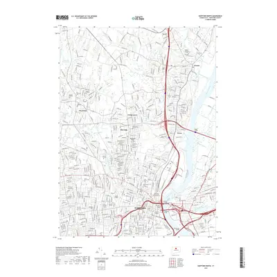
1945 Hartford North
Hartford County, CT

1946 Glastonbury
Hartford County, CT

1946 Windsor Locks
Hartford County, CT

1951 Avon
Hartford County, CT

1952 Hartford North
Hartford County, CT

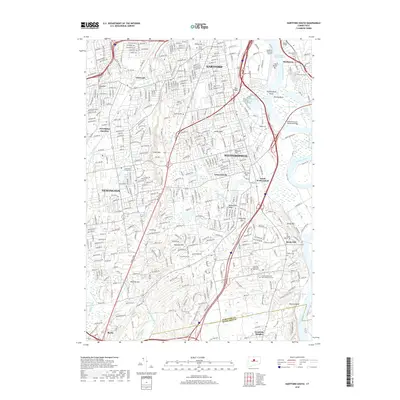
1952 Hartford South
Hartford County, CT

1952 Manchester
Hartford County, CT

1953 Glastonbury
Hartford County, CT

1953 Windsor Locks
Hartford County, CT

1957 Avon
Hartford County, CT

1963 Manchester
Hartford County, CT

1964 Glastonbury
Hartford County, CT

1964 Hartford North
Hartford County, CT

1964 Hartford South
Hartford County, CT

1964 Windsor Locks
Hartford County, CT
2012 Avon
Hartford County, CT
2012 Glastonbury
Hartford County, CT
2012 Hartford North
Hartford County, CT
2012 Hartford South
Hartford County, CT
2012 Manchester
Hartford County, CT
2012 Windsor Locks
Hartford County, CT
2015 Avon
Hartford County, CT
2015 Glastonbury
Hartford County, CT
2015 Hartford North
Hartford County, CT
2015 Hartford South
Hartford County, CT
2015 Manchester
Hartford County, CT
2015 Windsor Locks
Hartford County, CT
2018 Avon
Hartford County, CT
2018 Glastonbury
Hartford County, CT
2018 Hartford North
Hartford County, CT
2018 Hartford South
Hartford County, CT
2018 Manchester
Hartford County, CT
2018 Windsor Locks
Hartford County, CT
2021 Avon
Hartford County, CT
2021 Glastonbury
Hartford County, CT
2021 Hartford North
Hartford County, CT
2021 Hartford South
Hartford County, CT
2021 Manchester
Hartford County, CT
2021 Windsor Locks
Hartford County, CT

2024 Avon
Hartford County, CT

2024 Glastonbury
Hartford County, CT

2024 Hartford North
Hartford County, CT

2024 Hartford South
Hartford County, CT

2024 Manchester
Hartford County, CT

2024 Windsor Locks
Hartford County, CT