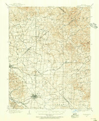
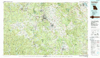
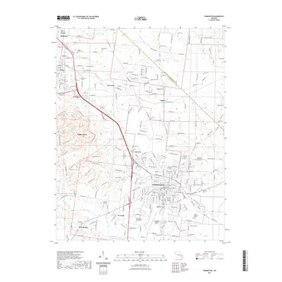
1906 Map of Farmington
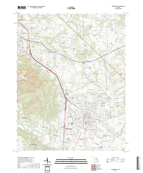
USGS Topo · Published 1937About this map
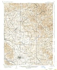
Farmington anchors this landscape at the junction of significant rail and road networks in southeastern Missouri. This survey, completed in 1904, highlights the region's transition into a transport hub, where the St Louis Iron Mtn and Southern RR and an Electric RR connect the county seat to neighboring settlements like Delassus and Farmington Junction. The map provides a remarkable view of early transit corridors, including the historical Plank Road and the St Louis Road, which facilitated the movement of timber and minerals from the interior.
Find a feature on this map
52 named features on this map. Tap any name to fly to it.
Don’t see what you’re looking for? This feature index may not catch every label — zoom into the map to look around manually.
Map Details
Editions of this 1906 Farmington Map
2 editions found

Historical Maps of Farmington Through Time
10 maps found
1904 Farmington
St. Francois County, MO
1906 Farmington
St. Francois County, MO
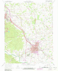
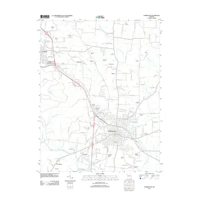
1964 Farmington
St. Francois County, MO
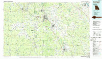
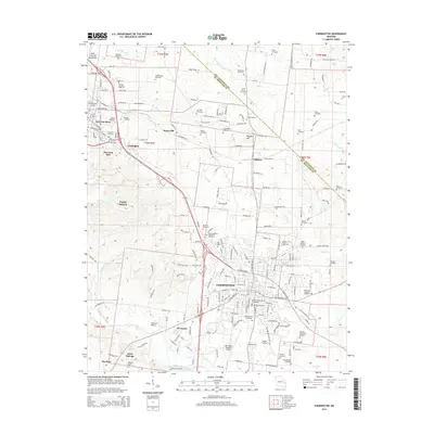
1986 Farmington
St. Francois County, MO
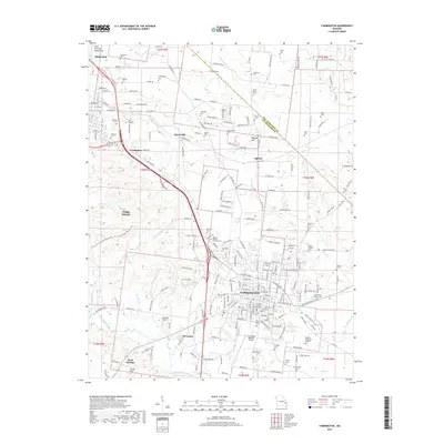
1987 Farmington
St. Francois County, MO
2011 Farmington
St. Francois County, MO
2015 Farmington
St. Francois County, MO
2017 Farmington
St. Francois County, MO
2021 Farmington
St. Francois County, MO
2023 Farmington
St. Francois County, MO