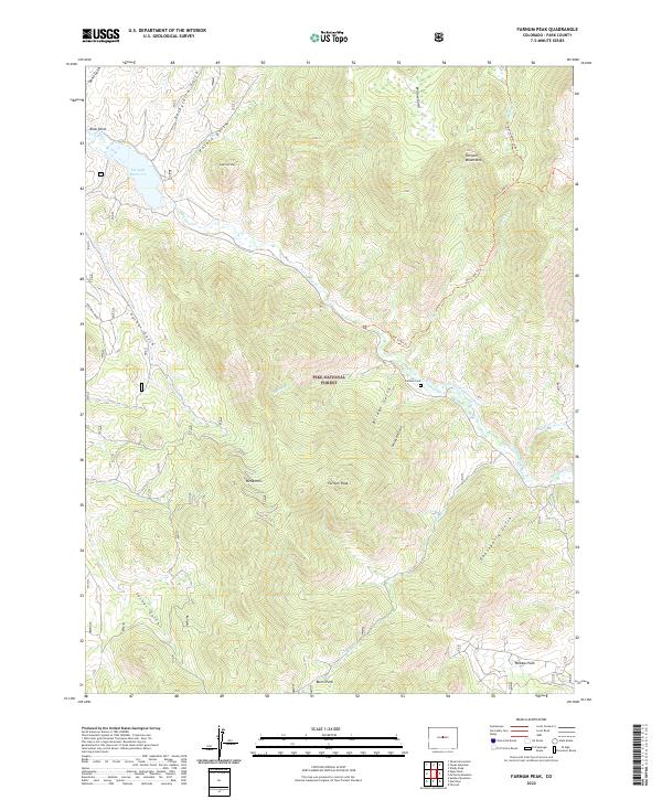
2022 Map of Farnum Peak
USGS Topo · Published 2022About this map
The Pike National Forest covers much of this high-country landscape, where the Puma Hills and Tarryall Mountains meet. Evidence of early ranching and water management is preserved through features like the Farnum Ditch and the Anson Allen Ditch, which redirect local flows toward more level grounds. High peaks like Farnum Peak and Sugarloaf Mtn overlook a series of named gulches, including the ominously named Graveyard Gulch and Bemis Gulch.
Find a feature on this map
37 named features on this map. Tap any name to fly to it.
Don’t see what you’re looking for? This feature index may not catch every label — zoom into the map to look around manually.
Map Details
Editions of this 2022 Farnum Peak Map
This is the sole edition of this map. No revisions or reprints were ever made.
Other maps of this area

1893 · Platte Canyon
USGS Topo · 1:125,000

1953 · Denver
USGS Topo · 1:250,000
1954 · Windy Peak
USGS Topo · 1:24,000

1956 · Eagle Rock
USGS Topo · 1:24,000

1956 · Mc Curdy Mountain
USGS Topo · 1:24,000

1956 · Tarryall
USGS Topo · 1:24,000

1956 · Sulphur Mountain
USGS Topo · 1:24,000

1956 · Farnum Peak
USGS Topo · 1:24,000

1956 · Glentivar
USGS Topo · 1:24,000

1957 · Denver
USGS Topo · 1:250,000