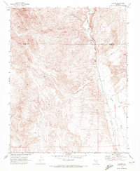
1969 Map of Farrier
USGS Topo · Published 1972About this map
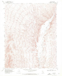
Meadow Valley Wash defines the eastern corridor of this desert landscape, serving as the primary path for the Union Pacific railroad line through the southern Nevada desert. This 1969 field-checked survey highlights the remote settlement of Farrier, a point of interest for those tracing the industrial and transportation history of the region. The map captures a transition between the elevated Bunker Hills to the northwest and the drainage networks of Farrier Wash and Whitmore Wash to the south.
Find a feature on this map
13 named features on this map. Tap any name to fly to it.
Don’t see what you’re looking for? This feature index may not catch every label — zoom into the map to look around manually.
Map Details
Editions of this 1969 Farrier Map
This is the sole edition of this map. No revisions or reprints were ever made.
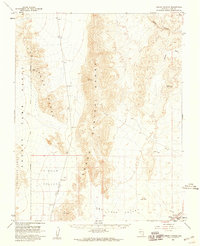
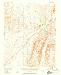
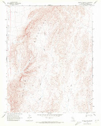
Other maps of this area

1886 · Saint Thomas
USGS Topo · 1:250,000

1893 · Saint Thomas
USGS Topo · 1:250,000

1954 · Las Vegas
USGS Topo · 1:250,000

1957 · Las Vegas
USGS Topo · 1:250,000
1958 · Arrow Canyon
USGS Topo · 1:62,500
1958 · Moapa
USGS Topo · 1:62,500

1959 · Las Vegas
USGS Topo · 1:250,000

1962 · Las Vegas
USGS Topo · 1:250,000
1969 · Wildcat Wash NE
USGS Topo · 1:24,000
1969 · Rox
USGS Topo · 1:24,000