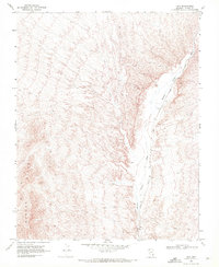
1969 Map of Rox
USGS Topo · Published 1972About this map
The Union Pacific railroad line forms the primary industrial corridor through this portion of Lincoln County, following the natural course of the Meadow Valley Wash. This arid landscape is defined by the sharp transition between the canyon floor and the surrounding Bunker Hills. The presence of a Borrow Pit and various Prospect locations indicates active extraction or exploration along the rail route during the late 1960s. Small infrastructure points like a Water Tank and a scattered Well mark the critical importance of water management for the railroad and nearby siding at Hoya. The terrain is navigable only by a few primitive routes, including a Jeep Trail, illustrating the isolation of this desert transport artery.
Find a feature on this map
9 named features on this map. Tap any name to fly to it.
Don’t see what you’re looking for? This feature index may not catch every label — zoom into the map to look around manually.
Map Details
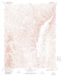
Editions of this 1969 Rox Map
2 editions found
Other maps of this area

1885 · Pioche
USGS Topo · 1:250,000

1886 · Saint Thomas
USGS Topo · 1:250,000

1886 · Pioche
USGS Topo · 1:250,000

1893 · Saint Thomas
USGS Topo · 1:250,000

1954 · Caliente
USGS Topo · 1:250,000

1954 · Las Vegas
USGS Topo · 1:250,000

1957 · Las Vegas
USGS Topo · 1:250,000

1959 · Caliente
USGS Topo · 1:250,000

1959 · Las Vegas
USGS Topo · 1:250,000

1962 · Las Vegas
USGS Topo · 1:250,000