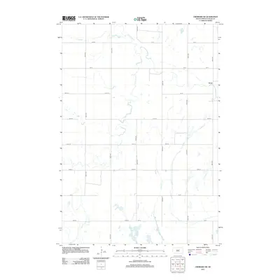
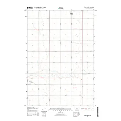
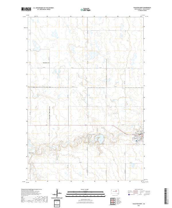
1952 Map of Faulkton West
USGS Topo · Published 1952About this map
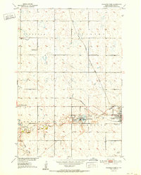
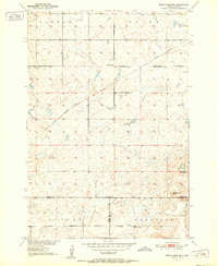
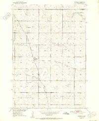
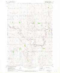
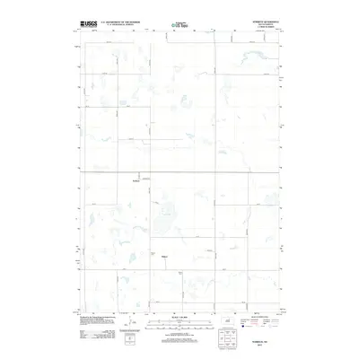
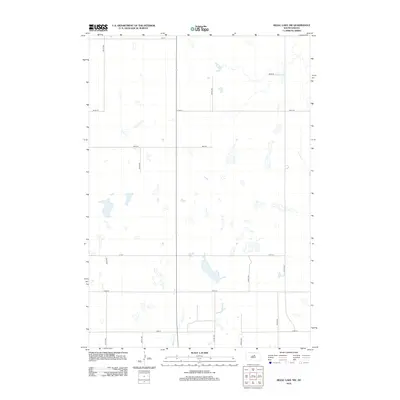
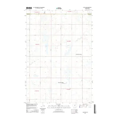
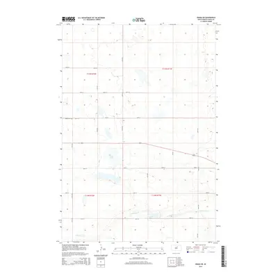
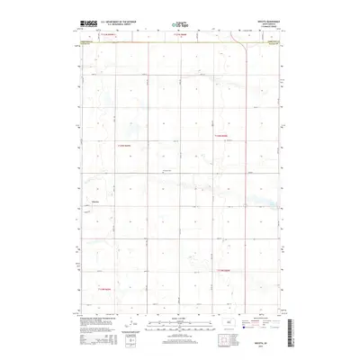
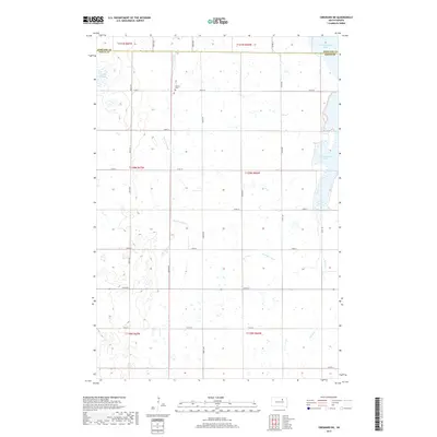
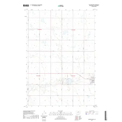
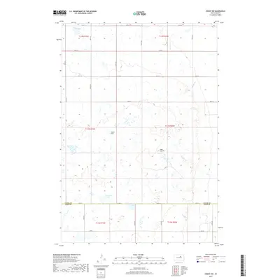
Faulkton serves as the focal point of this central South Dakota landscape, situated at the confluence of prairie agriculture and vital water resources. The South Fork Snake Creek meanders through the southern townships of Bryant and Tamworth, feeding into the substantial Lake Faulkton. This area is preserved as the Lake Faulkton State Game Refuge, an important conservation marker in the Missouri River Basin development era. The map reveals a transition in regional transportation, showing the active Chicago Milwaukee St Paul and Pacific line alongside the Chicago and North Western Railroad Grade. Rural education is well-represented by localized institutions such as Baldwin Sch, Walgamuth Sch, and Tamworth Sch, which anchored the surrounding farming communities during the mid-century period.
Find a feature on this map
16 named features on this map. Tap any name to fly to it.
Don’t see what you’re looking for? This feature index may not catch every label — zoom into the map to look around manually.
Map Details
Editions of this 1952 Faulkton West Map
This is the sole edition of this map. No revisions or reprints were ever made.
Historical Maps of Faulkton Through Time
76 maps found
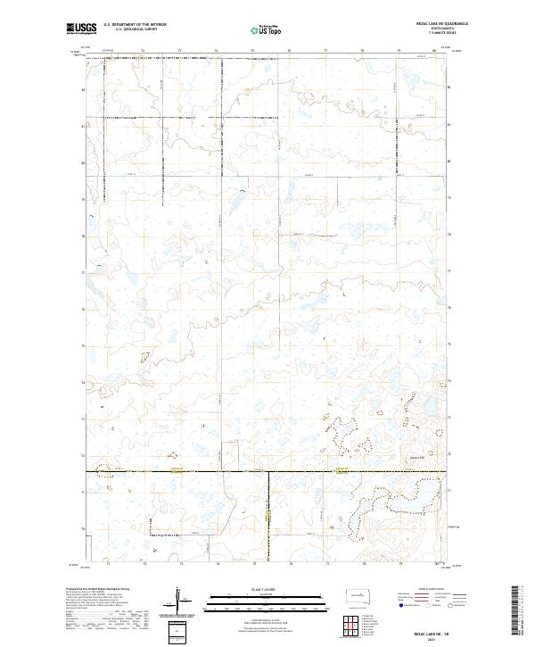
1950 Rezac Lake NE
Faulk County, SD
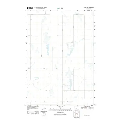
1951 Clark Lake
Faulk County, SD
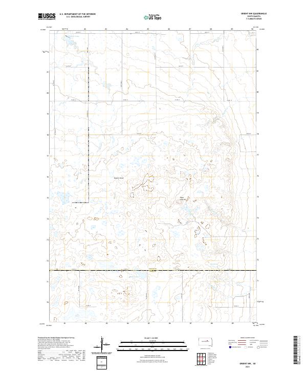
1951 Orient NW
Faulk County, SD
1951 Rezac Lake NE
Faulk County, SD
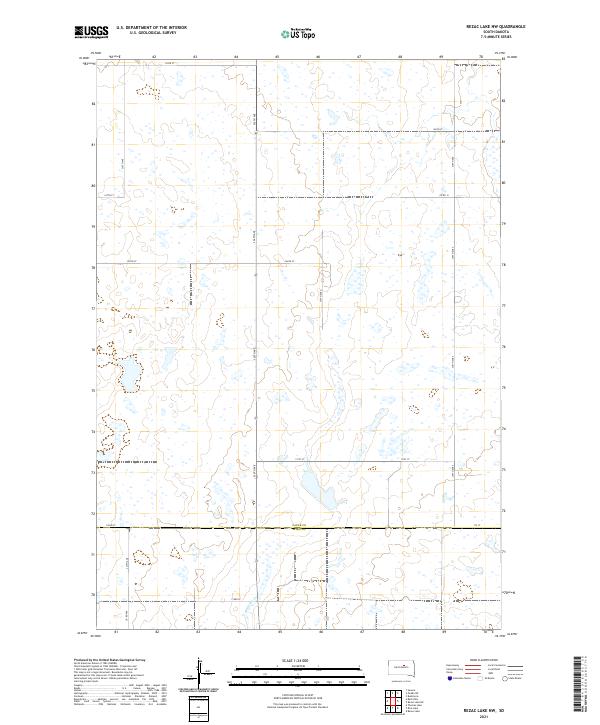
1951 Rezac Lake NW
Faulk County, SD
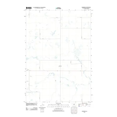
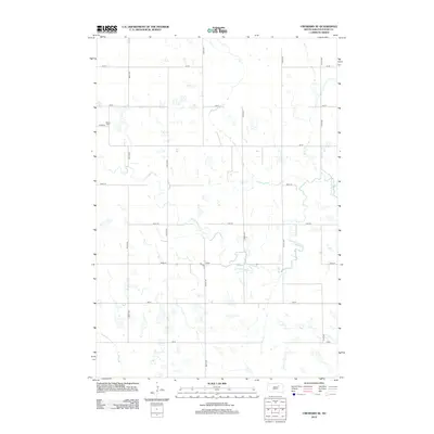
1952 Burkmere
Faulk County, SD
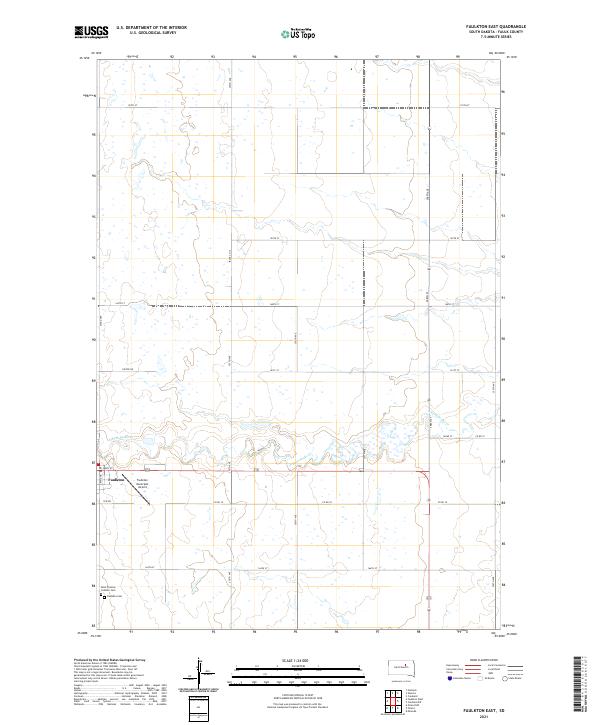
1952 Faulkton East
Faulk County, SD
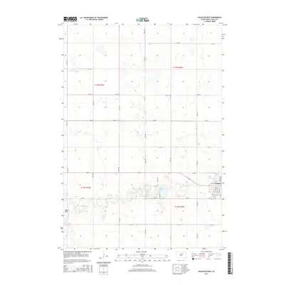
1952 Faulkton West
Faulk County, SD
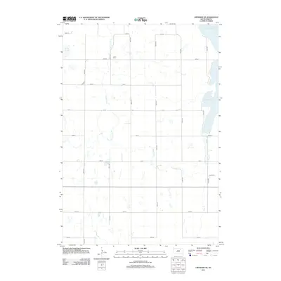
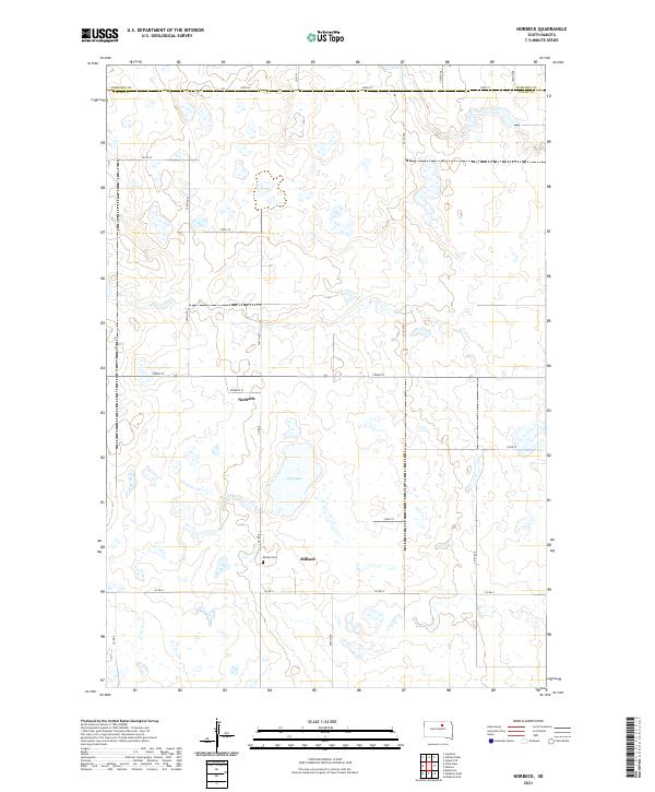
1952 Norbeck
Faulk County, SD
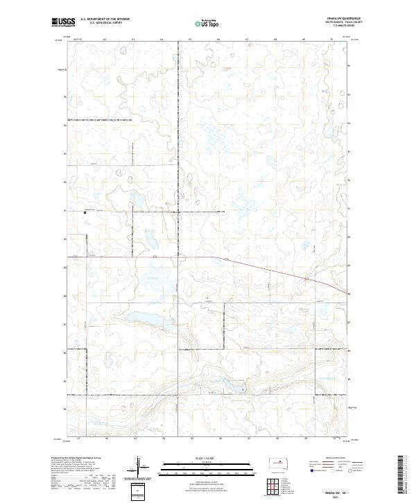
1952 Onaka SW
Faulk County, SD
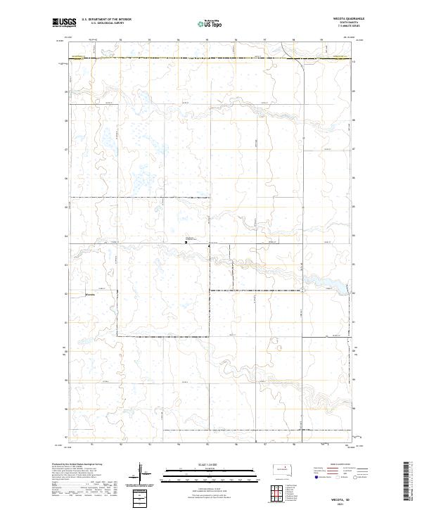
1952 Wecota
Faulk County, SD
1966 Cresbard NE
Faulk County, SD
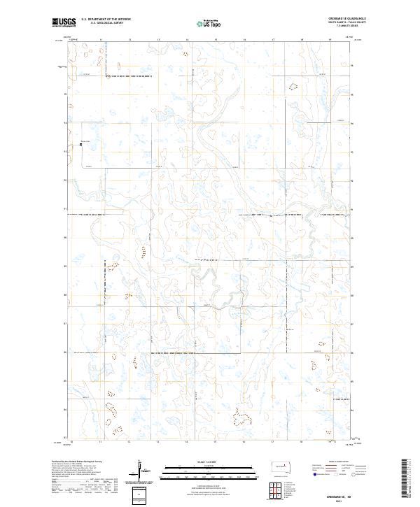
1966 Cresbard SE
Faulk County, SD
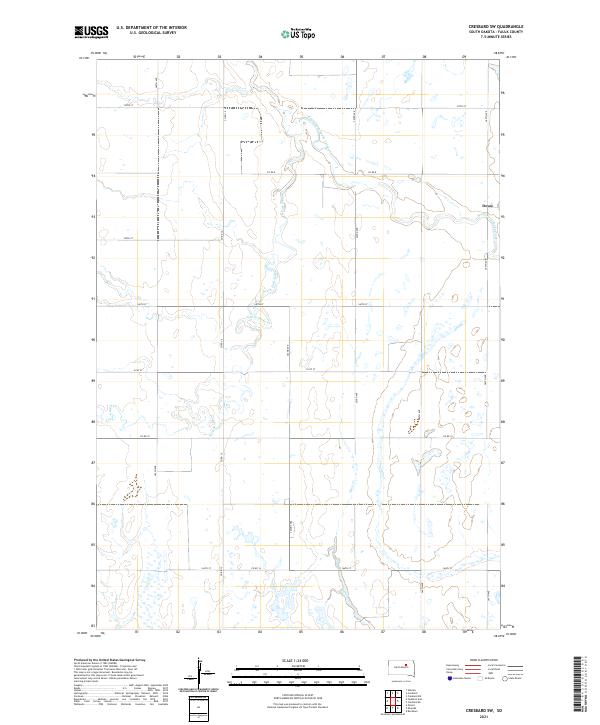
1966 Cresbard SW
Faulk County, SD

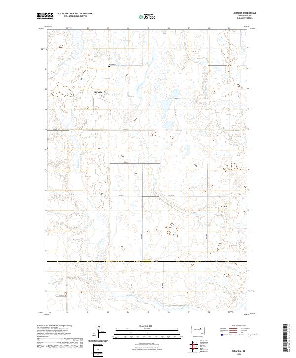
1966 Miranda
Faulk County, SD
1978 Bald Hills
Faulk County, SD
2012 Bald Hills
Faulk County, SD
2012 Burkmere
Faulk County, SD
2012 Clark Lake
Faulk County, SD
2012 Cresbard NE
Faulk County, SD
2012 Cresbard SE
Faulk County, SD
2012 Cresbard SW
Faulk County, SD
2012 Faulkton East
Faulk County, SD
2012 Faulkton West
Faulk County, SD
2012 Miranda
Faulk County, SD
2012 Norbeck
Faulk County, SD
2012 Onaka SW
Faulk County, SD
2012 Orient NW
Faulk County, SD
2012 Rezac Lake NE
Faulk County, SD
2012 Rezac Lake NW
Faulk County, SD
2012 Wecota
Faulk County, SD
2015 Bald Hills
Faulk County, SD
2015 Burkmere
Faulk County, SD
2015 Clark Lake
Faulk County, SD
2015 Cresbard NE
Faulk County, SD
2015 Cresbard SE
Faulk County, SD
2015 Cresbard SW
Faulk County, SD
2015 Faulkton East
Faulk County, SD
2015 Faulkton West
Faulk County, SD
2015 Miranda
Faulk County, SD
2015 Norbeck
Faulk County, SD
2015 Onaka SW
Faulk County, SD
2015 Orient NW
Faulk County, SD
2015 Rezac Lake NE
Faulk County, SD
2015 Rezac Lake NW
Faulk County, SD
2015 Wecota
Faulk County, SD
2017 Bald Hills
Faulk County, SD
2017 Burkmere
Faulk County, SD
2017 Clark Lake
Faulk County, SD
2017 Cresbard NE
Faulk County, SD
2017 Cresbard SE
Faulk County, SD
2017 Cresbard SW
Faulk County, SD
2017 Faulkton East
Faulk County, SD
2017 Faulkton West
Faulk County, SD
2017 Miranda
Faulk County, SD
2017 Norbeck
Faulk County, SD
2017 Onaka SW
Faulk County, SD
2017 Orient NW
Faulk County, SD
2017 Rezac Lake NE
Faulk County, SD
2017 Rezac Lake NW
Faulk County, SD
2017 Wecota
Faulk County, SD
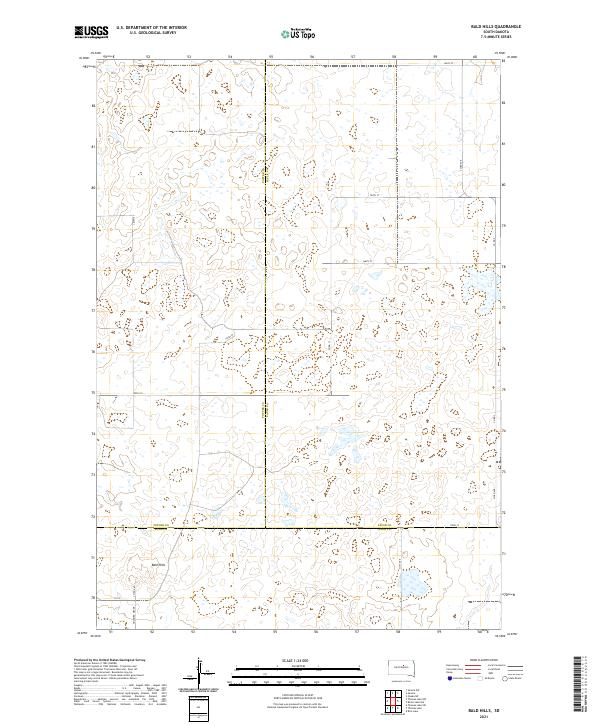
2021 Bald Hills
Faulk County, SD
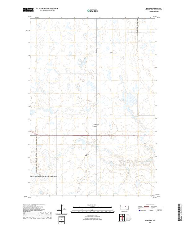
2021 Burkmere
Faulk County, SD
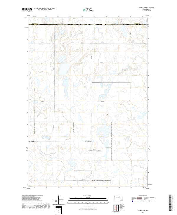
2021 Clark Lake
Faulk County, SD
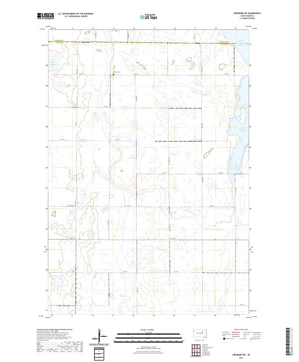
2021 Cresbard NE
Faulk County, SD
2021 Cresbard SE
Faulk County, SD
2021 Cresbard SW
Faulk County, SD
2021 Faulkton East
Faulk County, SD
2021 Faulkton West
Faulk County, SD
2021 Miranda
Faulk County, SD
2021 Norbeck
Faulk County, SD
2021 Onaka SW
Faulk County, SD
2021 Orient NW
Faulk County, SD
2021 Rezac Lake NE
Faulk County, SD
2021 Rezac Lake NW
Faulk County, SD
2021 Wecota
Faulk County, SD