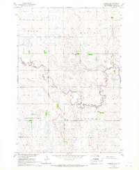
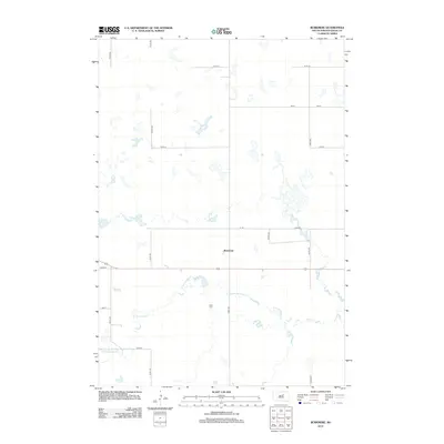
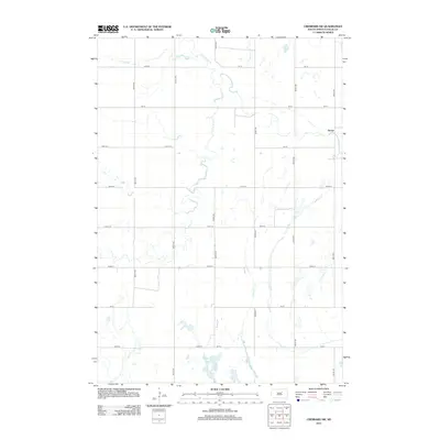
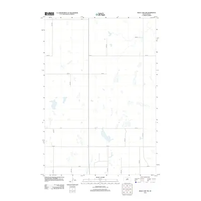
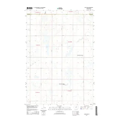
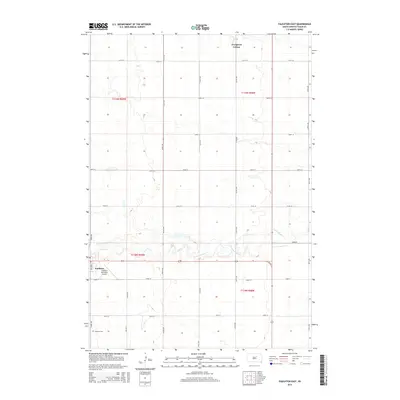
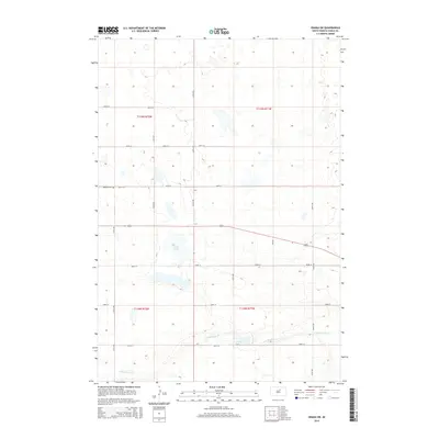
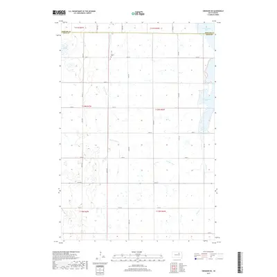
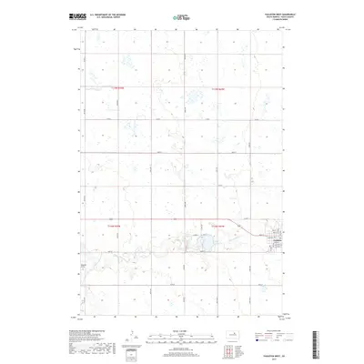
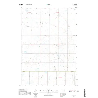
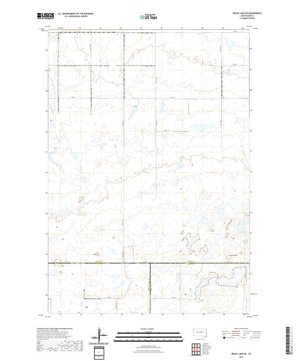
1950 Map of Rezac Lake NE
USGS Topo · Published 1957About this map
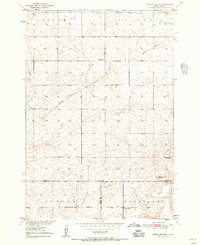
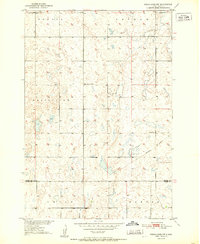
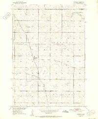
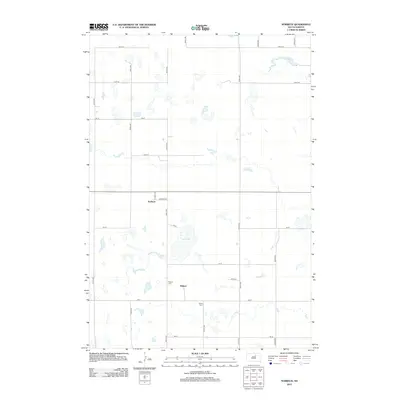
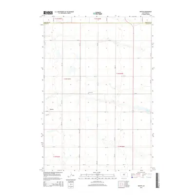
The intersection of Hyde, Faulk, and Hand counties defines this mid-century landscape of the Missouri River Basin. During this period, the prairie was dotted with isolated rural outposts such as Taylor Sch in the north and Staufer Sch to the south. The terrain is marked by significant topographical rises like Waters Hill and the presence of Hill Spring, reflecting a water-dependent cattle or farming economy. A notable diagonal scar across the northern townships reveals an Old Railroad Grade, showing where transportation infrastructure had already shifted or been removed by the 1950s. The map illustrates the township system with boundaries for Latham, Bryant, Banner, and Harrison, providing a clear view of the cadastral organization in this portion of South Dakota.
Find a feature on this map
12 named features on this map. Tap any name to fly to it.
Don’t see what you’re looking for? This feature index may not catch every label — zoom into the map to look around manually.
Map Details
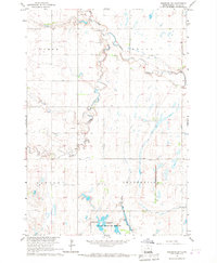
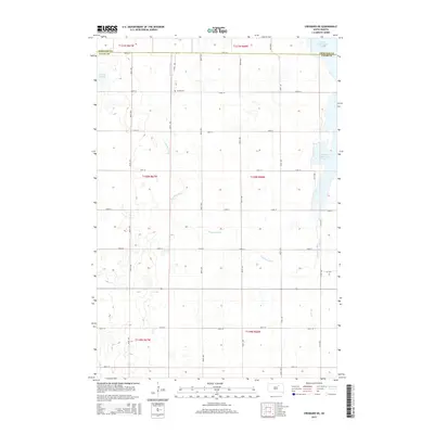
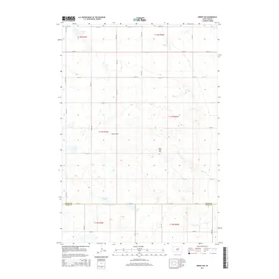
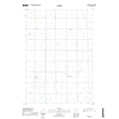
Editions of this 1950 Rezac Lake NE Map
This is the sole edition of this map. No revisions or reprints were ever made.
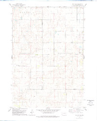
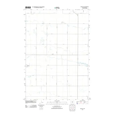
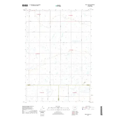
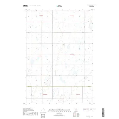
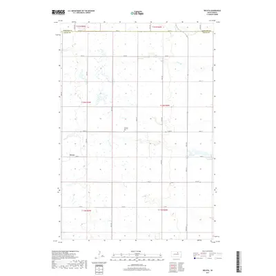
Historical Maps of Hand County Through Time
76 maps found
1950 Rezac Lake NE
Faulk County, SD
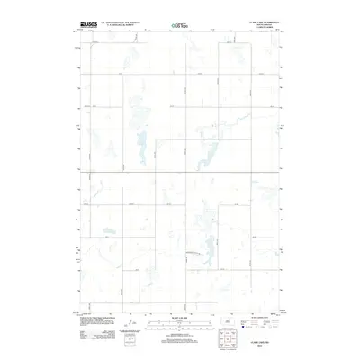
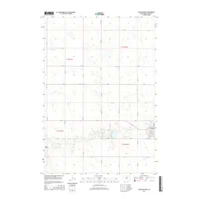
1951 Clark Lake
Faulk County, SD
1951 Orient NW
Faulk County, SD
1951 Rezac Lake NE
Faulk County, SD
1951 Rezac Lake NW
Faulk County, SD
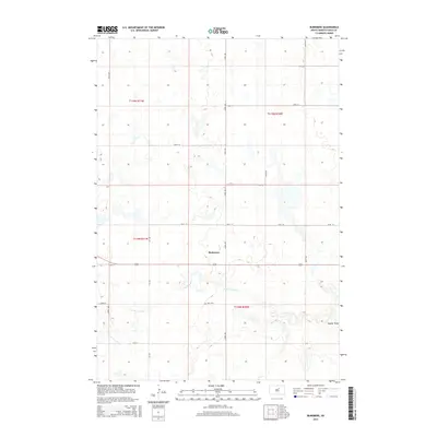
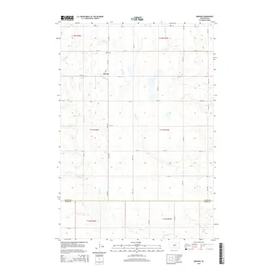
1952 Burkmere
Faulk County, SD
1952 Faulkton East
Faulk County, SD
1952 Faulkton West
Faulk County, SD
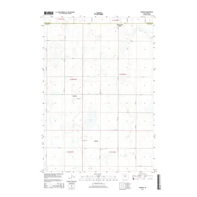
1952 Norbeck
Faulk County, SD
1952 Onaka SW
Faulk County, SD
1952 Wecota
Faulk County, SD
1966 Cresbard NE
Faulk County, SD
1966 Cresbard SE
Faulk County, SD
1966 Cresbard SW
Faulk County, SD

1966 Miranda
Faulk County, SD
1978 Bald Hills
Faulk County, SD
2012 Bald Hills
Faulk County, SD
2012 Burkmere
Faulk County, SD
2012 Clark Lake
Faulk County, SD
2012 Cresbard NE
Faulk County, SD
2012 Cresbard SE
Faulk County, SD
2012 Cresbard SW
Faulk County, SD
2012 Faulkton East
Faulk County, SD
2012 Faulkton West
Faulk County, SD
2012 Miranda
Faulk County, SD
2012 Norbeck
Faulk County, SD
2012 Onaka SW
Faulk County, SD
2012 Orient NW
Faulk County, SD
2012 Rezac Lake NE
Faulk County, SD
2012 Rezac Lake NW
Faulk County, SD
2012 Wecota
Faulk County, SD
2015 Bald Hills
Faulk County, SD
2015 Burkmere
Faulk County, SD
2015 Clark Lake
Faulk County, SD
2015 Cresbard NE
Faulk County, SD
2015 Cresbard SE
Faulk County, SD
2015 Cresbard SW
Faulk County, SD
2015 Faulkton East
Faulk County, SD
2015 Faulkton West
Faulk County, SD
2015 Miranda
Faulk County, SD
2015 Norbeck
Faulk County, SD
2015 Onaka SW
Faulk County, SD
2015 Orient NW
Faulk County, SD
2015 Rezac Lake NE
Faulk County, SD
2015 Rezac Lake NW
Faulk County, SD
2015 Wecota
Faulk County, SD
2017 Bald Hills
Faulk County, SD
2017 Burkmere
Faulk County, SD
2017 Clark Lake
Faulk County, SD
2017 Cresbard NE
Faulk County, SD
2017 Cresbard SE
Faulk County, SD
2017 Cresbard SW
Faulk County, SD
2017 Faulkton East
Faulk County, SD
2017 Faulkton West
Faulk County, SD
2017 Miranda
Faulk County, SD
2017 Norbeck
Faulk County, SD
2017 Onaka SW
Faulk County, SD
2017 Orient NW
Faulk County, SD
2017 Rezac Lake NE
Faulk County, SD
2017 Rezac Lake NW
Faulk County, SD
2017 Wecota
Faulk County, SD
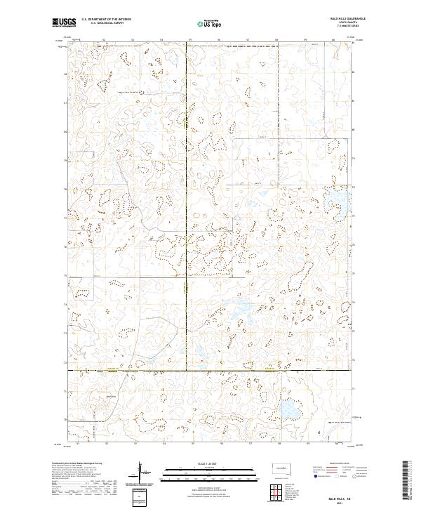
2021 Bald Hills
Faulk County, SD
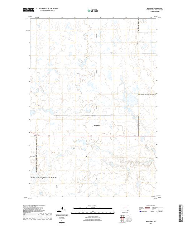
2021 Burkmere
Faulk County, SD
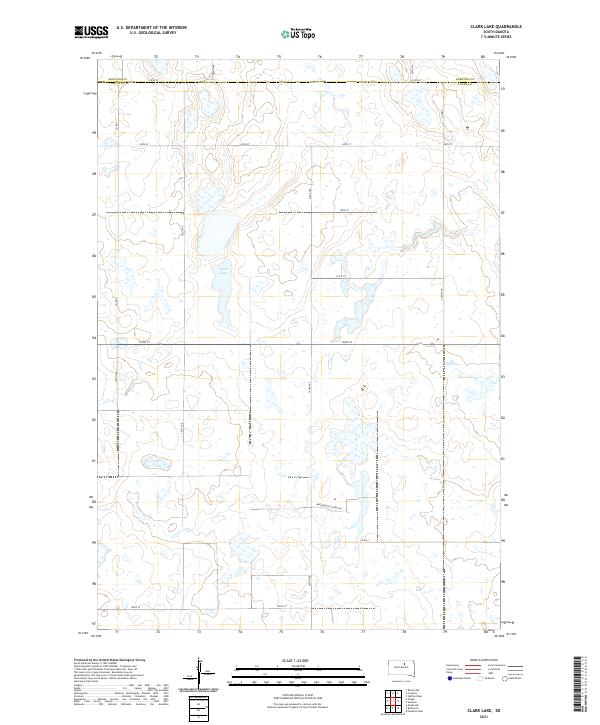
2021 Clark Lake
Faulk County, SD
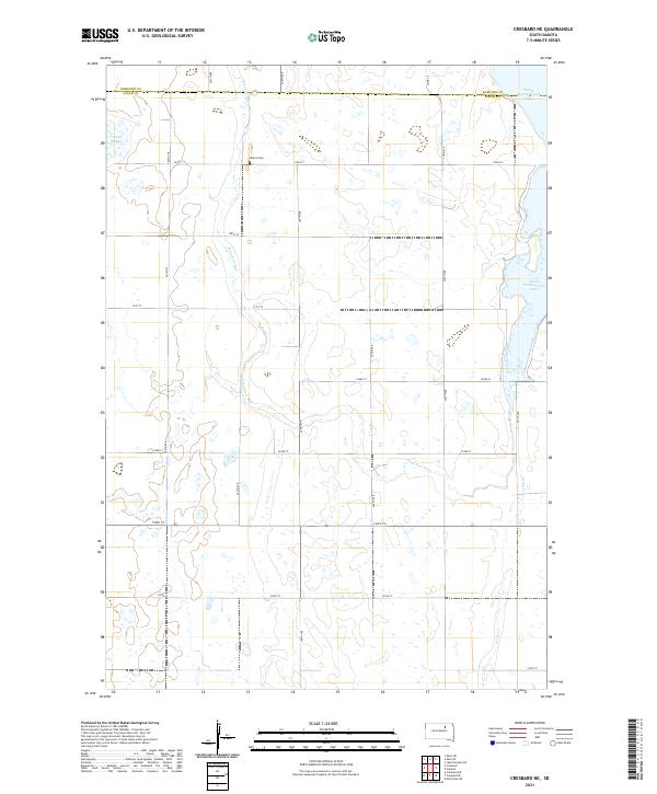
2021 Cresbard NE
Faulk County, SD
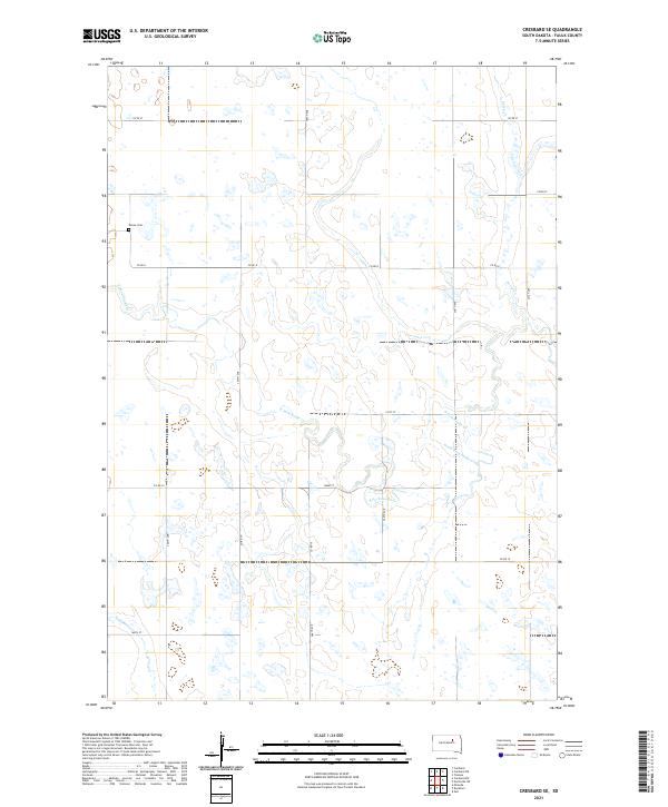
2021 Cresbard SE
Faulk County, SD
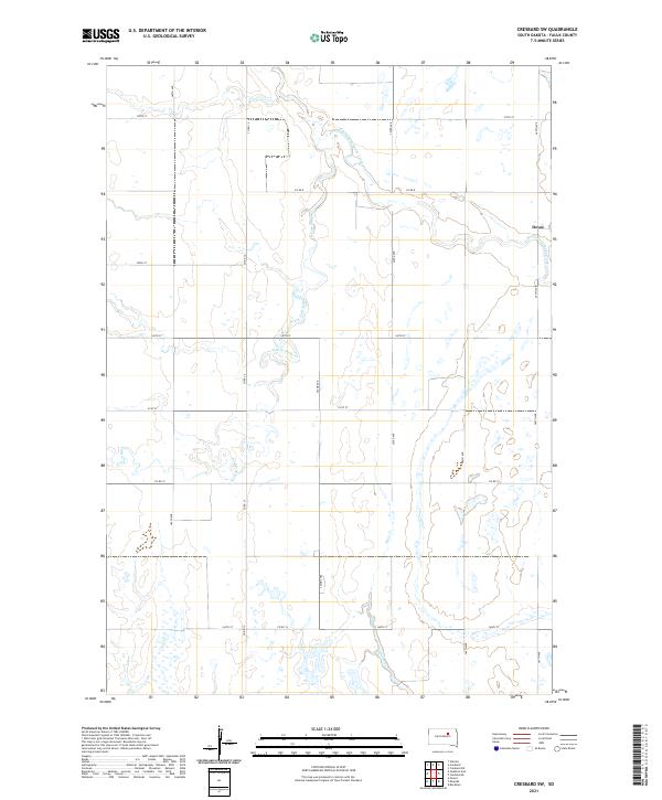
2021 Cresbard SW
Faulk County, SD
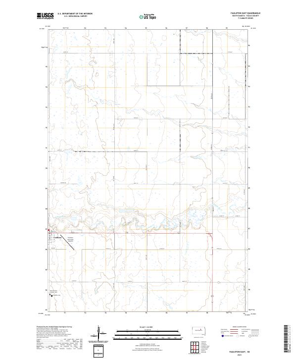
2021 Faulkton East
Faulk County, SD
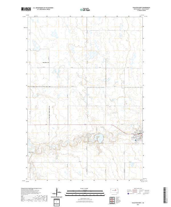
2021 Faulkton West
Faulk County, SD
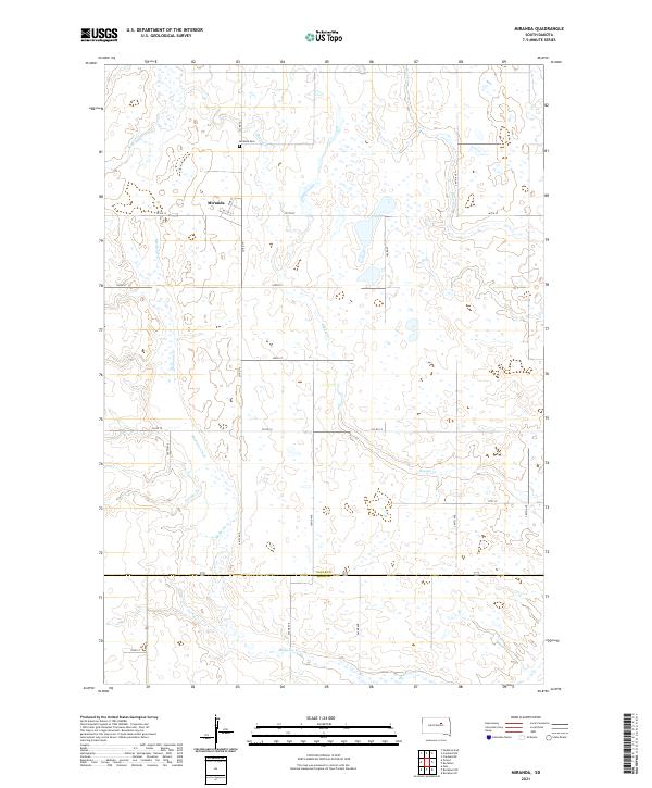
2021 Miranda
Faulk County, SD
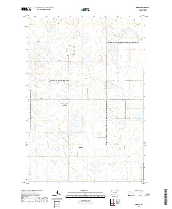
2021 Norbeck
Faulk County, SD
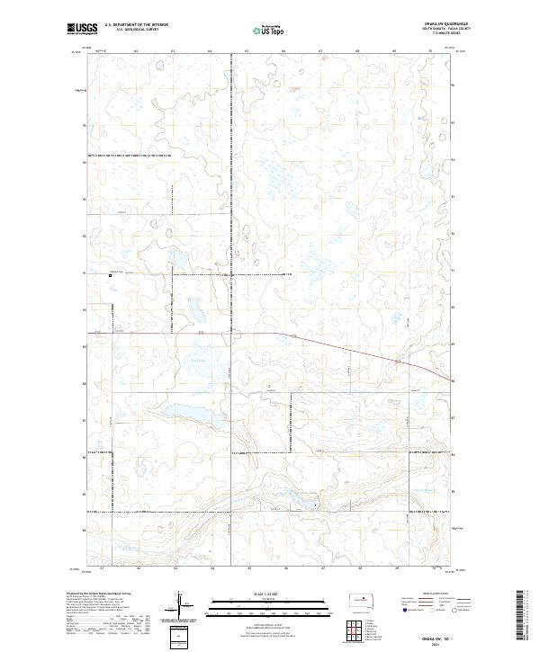
2021 Onaka SW
Faulk County, SD
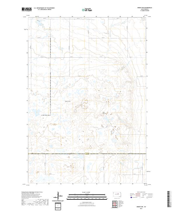
2021 Orient NW
Faulk County, SD
2021 Rezac Lake NE
Faulk County, SD
2021 Rezac Lake NW
Faulk County, SD
2021 Wecota
Faulk County, SD