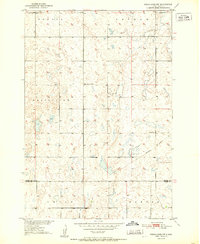
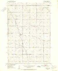
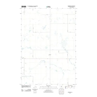
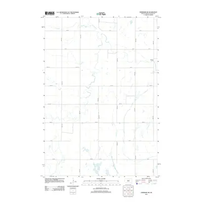
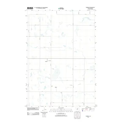
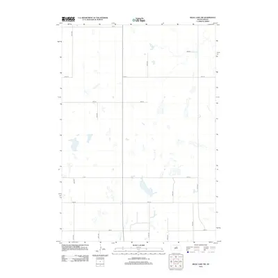
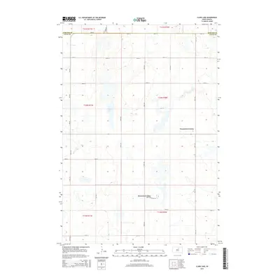
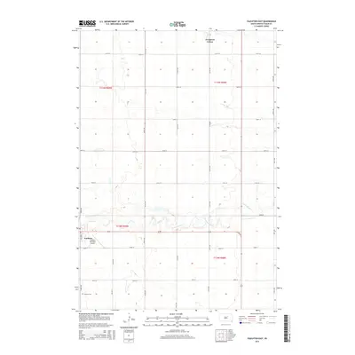
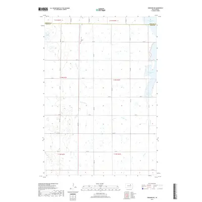
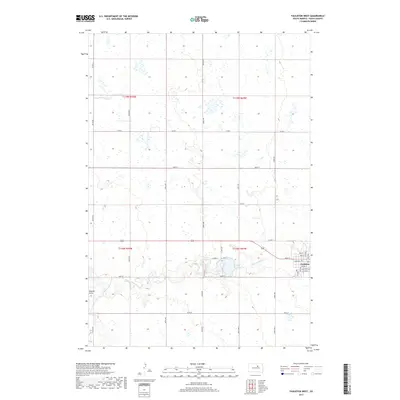
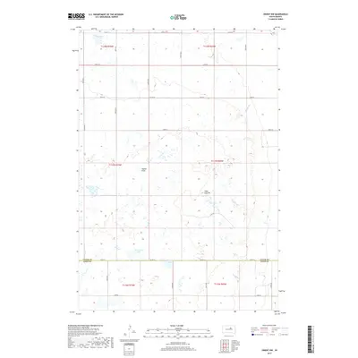
1951 Map of Orient NW
USGS Topo · Published 1951About this map
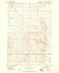
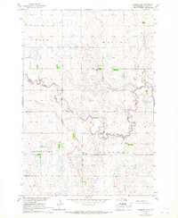
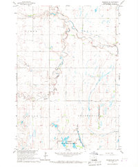
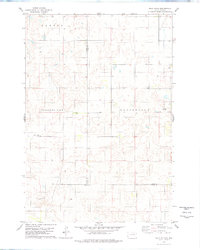
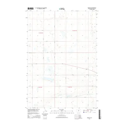
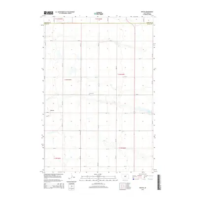
Glacial depressions and prairie drainage patterns dominate this 1951 survey of the borderlands between Faulk and Hand counties. The landscape is dotted with seasonal catchments and prominent water bodies like Vogeler Lake in the north and the hydrologically connected Matter Lake and Horseshoe Lake to the south. The rural character of the era is reflected in the placement of the Maloney Sch and Progress Sch, which served the scattered farmsteads across the townships of Bryant, Tamworth, and Harrison. Topographical features such as Sugar Loaf Hill rise above the surrounding plains, providing natural landmarks in an otherwise open terrain. This survey reflects the mid-century agricultural layout of the Missouri River Basin development area, showing the precise locations of Huss Spring and Gonder Creek before modern land-use changes altered local drainage.
Find a feature on this map
15 named features on this map. Tap any name to fly to it.
Don’t see what you’re looking for? This feature index may not catch every label — zoom into the map to look around manually.
Map Details
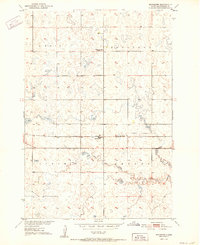
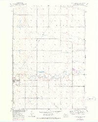
Editions of this 1951 Orient NW Map
This is the sole edition of this map. No revisions or reprints were ever made.
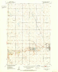
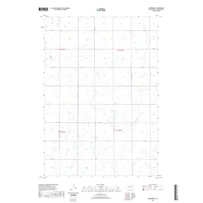
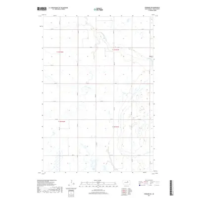
Historical Maps of Hand County Through Time
76 maps found
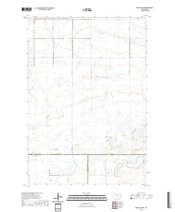
1950 Rezac Lake NE
Faulk County, SD
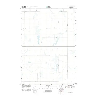
1951 Clark Lake
Faulk County, SD
1951 Orient NW
Faulk County, SD
1951 Rezac Lake NE
Faulk County, SD
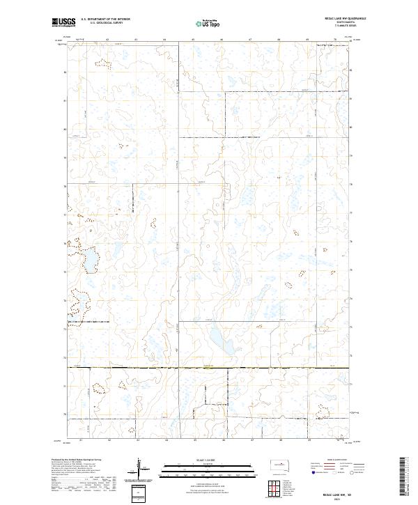
1951 Rezac Lake NW
Faulk County, SD
1952 Burkmere
Faulk County, SD
1952 Faulkton East
Faulk County, SD
1952 Faulkton West
Faulk County, SD
1952 Norbeck
Faulk County, SD
1952 Onaka SW
Faulk County, SD
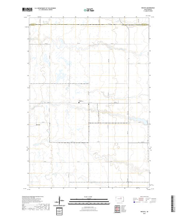
1952 Wecota
Faulk County, SD
1966 Cresbard NE
Faulk County, SD
1966 Cresbard SE
Faulk County, SD
1966 Cresbard SW
Faulk County, SD

1966 Miranda
Faulk County, SD
1978 Bald Hills
Faulk County, SD
2012 Bald Hills
Faulk County, SD
2012 Burkmere
Faulk County, SD
2012 Clark Lake
Faulk County, SD
2012 Cresbard NE
Faulk County, SD
2012 Cresbard SE
Faulk County, SD
2012 Cresbard SW
Faulk County, SD
2012 Faulkton East
Faulk County, SD
2012 Faulkton West
Faulk County, SD
2012 Miranda
Faulk County, SD
2012 Norbeck
Faulk County, SD
2012 Onaka SW
Faulk County, SD
2012 Orient NW
Faulk County, SD
2012 Rezac Lake NE
Faulk County, SD
2012 Rezac Lake NW
Faulk County, SD
2012 Wecota
Faulk County, SD
2015 Bald Hills
Faulk County, SD
2015 Burkmere
Faulk County, SD
2015 Clark Lake
Faulk County, SD
2015 Cresbard NE
Faulk County, SD
2015 Cresbard SE
Faulk County, SD
2015 Cresbard SW
Faulk County, SD
2015 Faulkton East
Faulk County, SD
2015 Faulkton West
Faulk County, SD
2015 Miranda
Faulk County, SD
2015 Norbeck
Faulk County, SD
2015 Onaka SW
Faulk County, SD
2015 Orient NW
Faulk County, SD
2015 Rezac Lake NE
Faulk County, SD
2015 Rezac Lake NW
Faulk County, SD
2015 Wecota
Faulk County, SD
2017 Bald Hills
Faulk County, SD
2017 Burkmere
Faulk County, SD
2017 Clark Lake
Faulk County, SD
2017 Cresbard NE
Faulk County, SD
2017 Cresbard SE
Faulk County, SD
2017 Cresbard SW
Faulk County, SD
2017 Faulkton East
Faulk County, SD
2017 Faulkton West
Faulk County, SD
2017 Miranda
Faulk County, SD
2017 Norbeck
Faulk County, SD
2017 Onaka SW
Faulk County, SD
2017 Orient NW
Faulk County, SD
2017 Rezac Lake NE
Faulk County, SD
2017 Rezac Lake NW
Faulk County, SD
2017 Wecota
Faulk County, SD
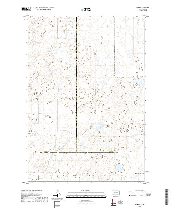
2021 Bald Hills
Faulk County, SD
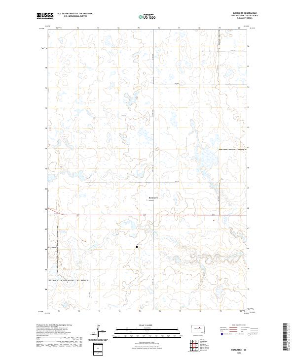
2021 Burkmere
Faulk County, SD
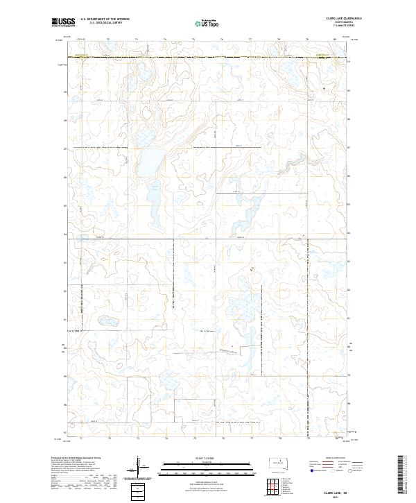
2021 Clark Lake
Faulk County, SD
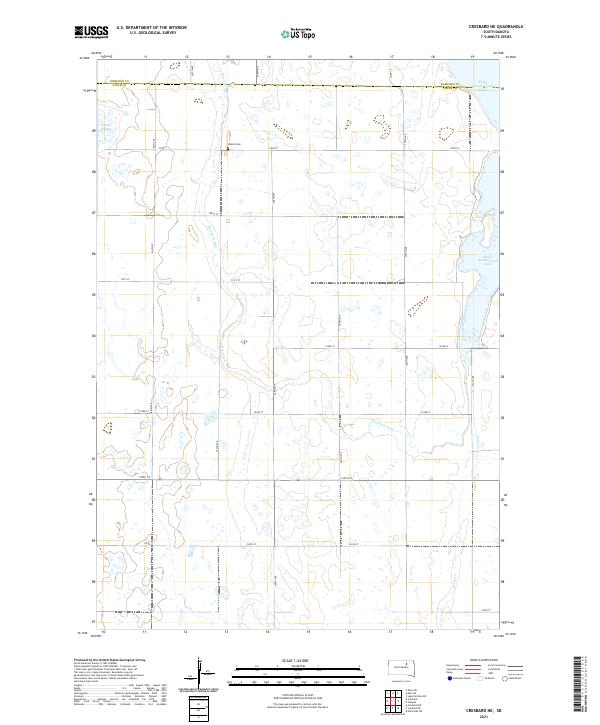
2021 Cresbard NE
Faulk County, SD
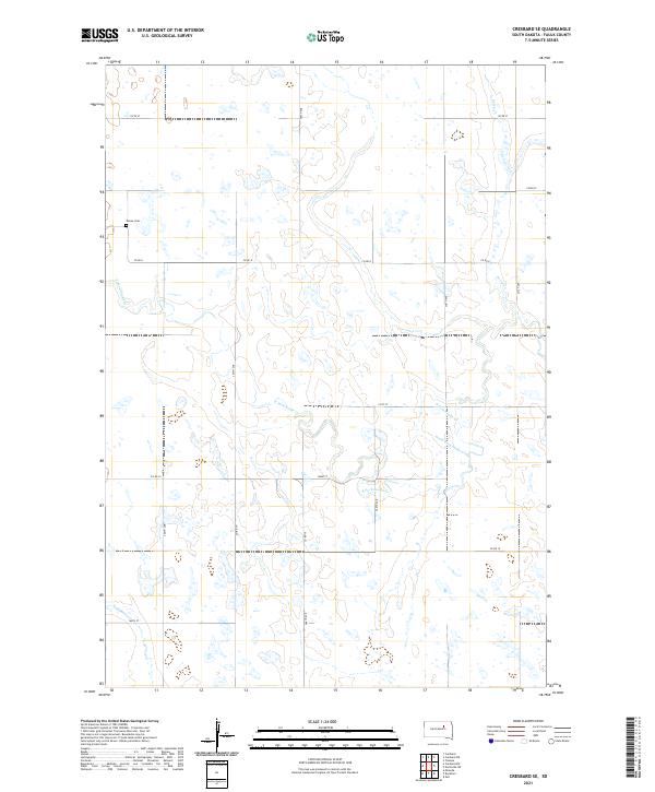
2021 Cresbard SE
Faulk County, SD
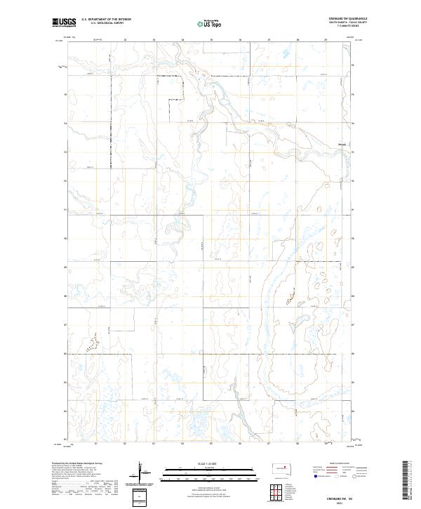
2021 Cresbard SW
Faulk County, SD
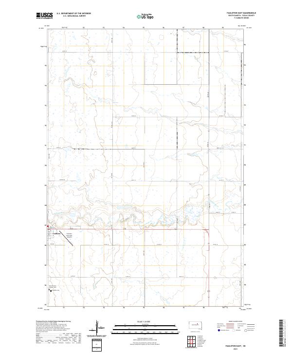
2021 Faulkton East
Faulk County, SD
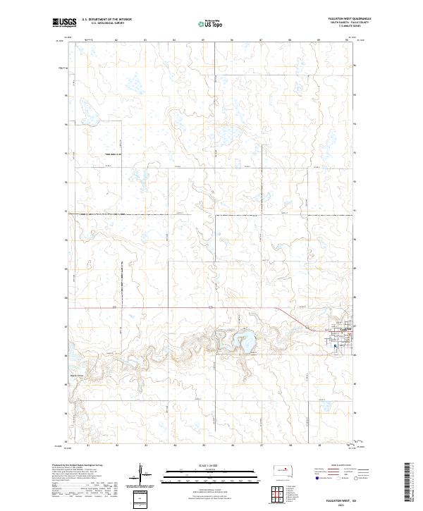
2021 Faulkton West
Faulk County, SD
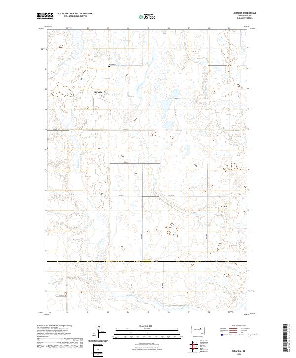
2021 Miranda
Faulk County, SD
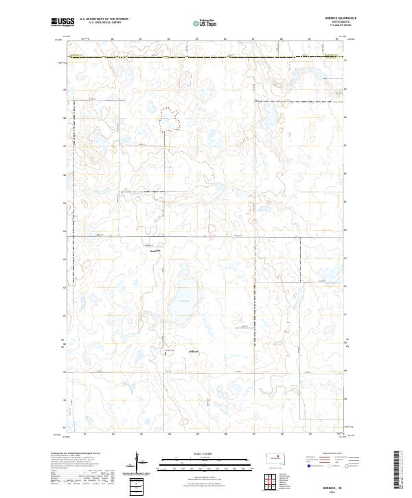
2021 Norbeck
Faulk County, SD
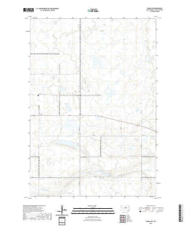
2021 Onaka SW
Faulk County, SD
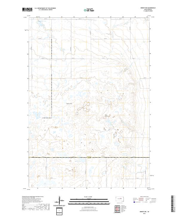
2021 Orient NW
Faulk County, SD
2021 Rezac Lake NE
Faulk County, SD
2021 Rezac Lake NW
Faulk County, SD
2021 Wecota
Faulk County, SD