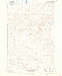
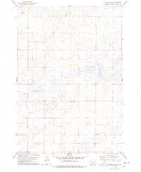
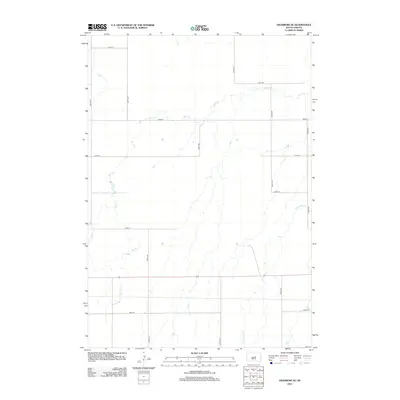
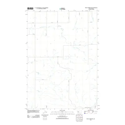
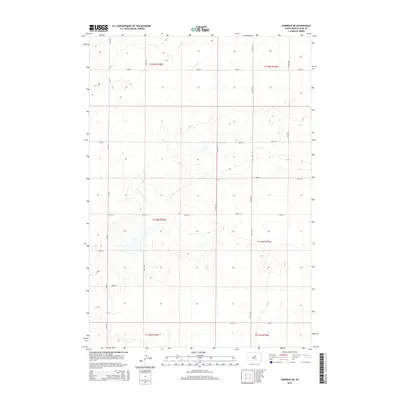
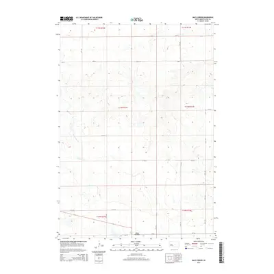
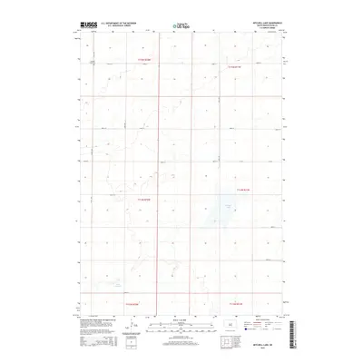
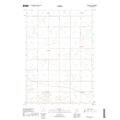
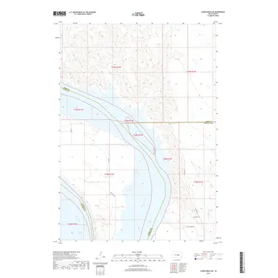
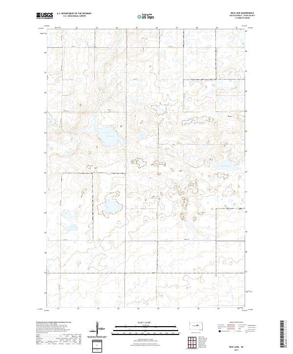
1951 Map of Rice Lake
USGS Topo · Published 1951About this map
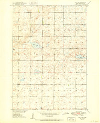
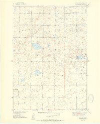
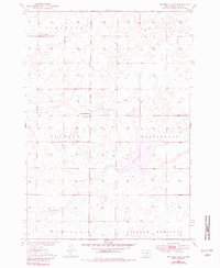
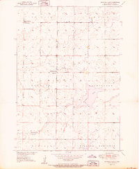
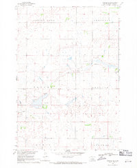
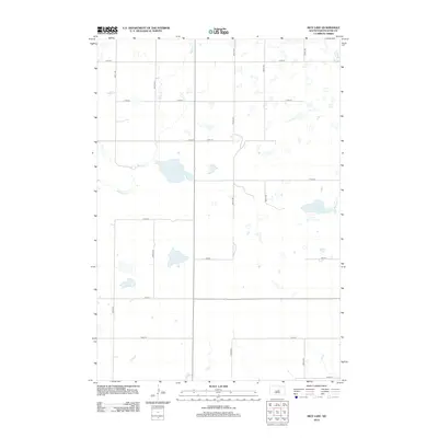
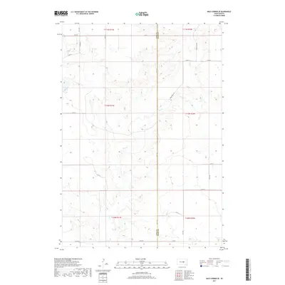
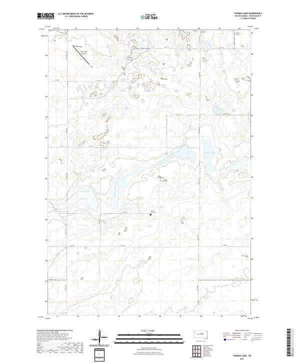
Rice Lake and the surrounding prairie of Hyde County define this post-war landscape, mapped as part of a development program for the Missouri River Basin. The region is organized into several distinct townships, including Union, Banner, Illinois, and Eden. Small rural schoolhouses, such as Money Sch and North Illinois Sch, are scattered throughout the sections, serving as the primary civic nodes for this agricultural community. The drainage pattern is dominated by the seasonal flow of Medicine Creek, which winds through the central portion of the quadrangle. Other prominent water bodies include Baloun Lake and Thomas Lake. This survey reflects the mid-century spatial organization of central South Dakota before modern consolidation, preserving the locations of specific country schools like Rice Lake Sch that once anchored these prairie townships.
Find a feature on this map
11 named features on this map. Tap any name to fly to it.
Don’t see what you’re looking for? This feature index may not catch every label — zoom into the map to look around manually.
Map Details
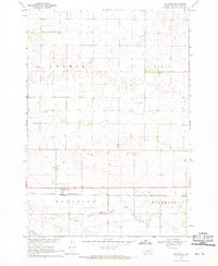
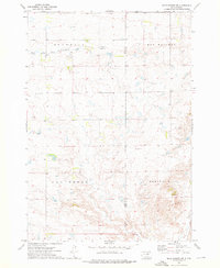
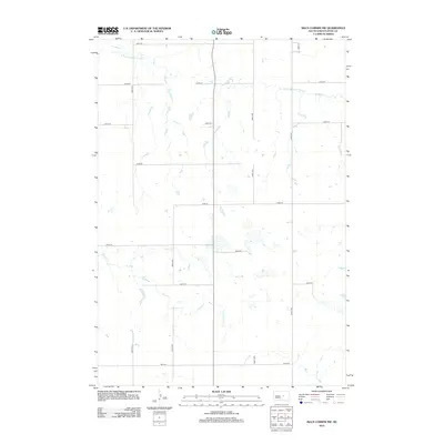
Editions of this 1951 Rice Lake Map
2 editions found
Historical Maps of Hyde County Through Time
66 maps found
1949 Mitchell Lake
Hyde County, SD

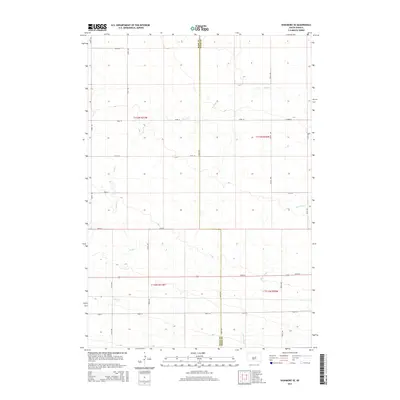
1950 Highmore SE
Hyde County, SD
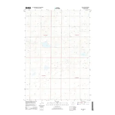
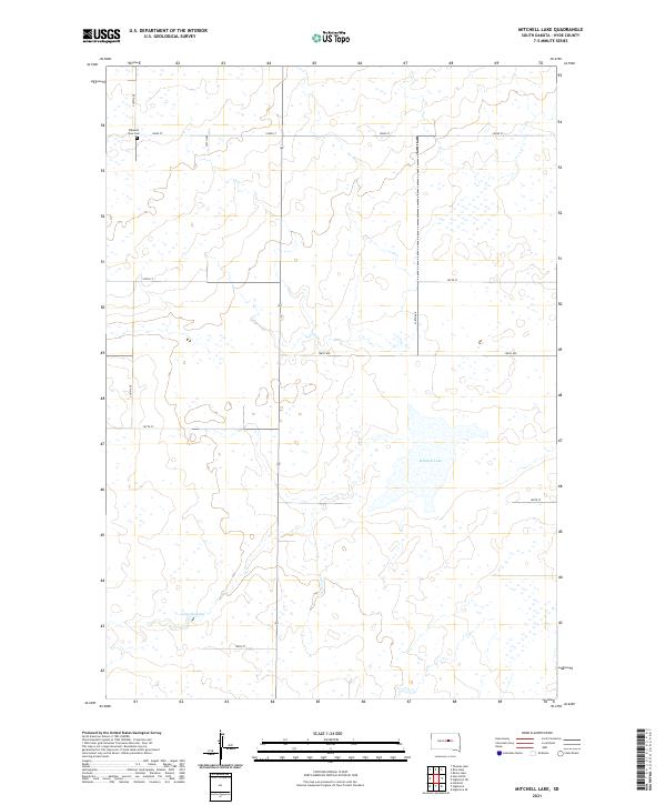
1950 Mitchell Lake
Hyde County, SD
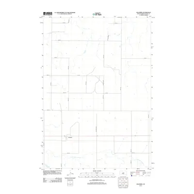
1951 Rice Lake
Hyde County, SD

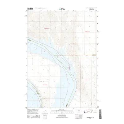
1966 Lower Brule NE
Hyde County, SD
1968 Harrold NE
Hyde County, SD
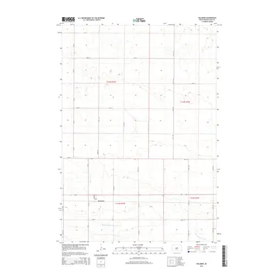
1968 Holabird
Hyde County, SD
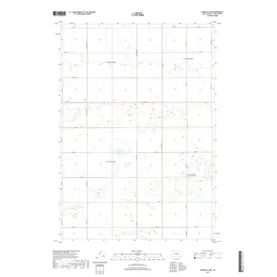
1973 Chapelle Lake
Hyde County, SD
1973 Chapelle Lake SE
Hyde County, SD
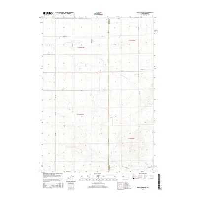
1973 Macs Corner
Hyde County, SD
1973 Macs Corner NE
Hyde County, SD
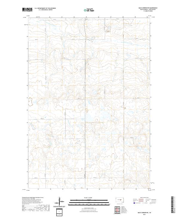
1973 Macs Corner NW
Hyde County, SD
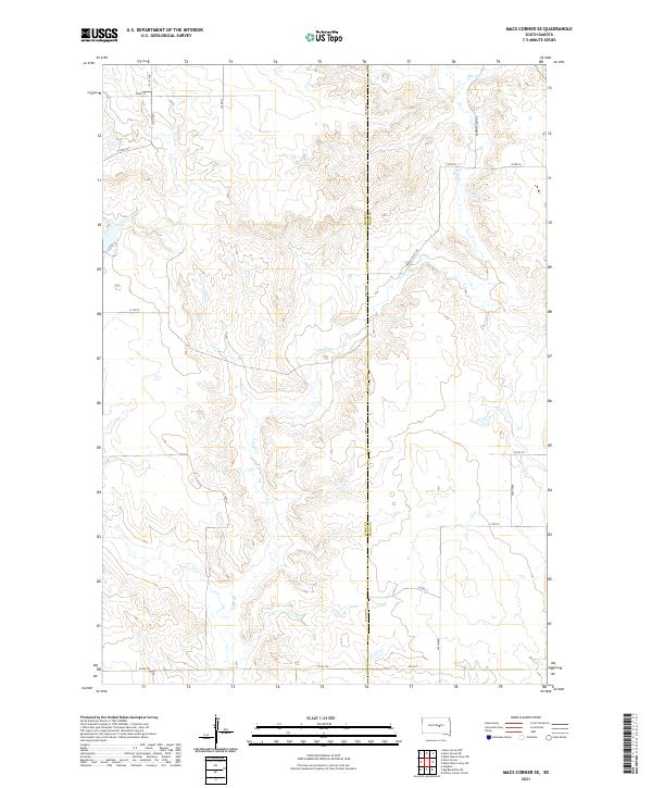
1973 Macs Corner SE
Hyde County, SD
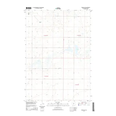
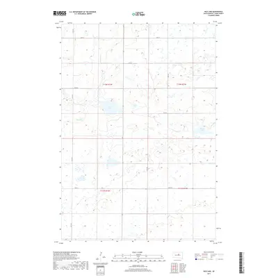
1978 Thomas Lake
Hyde County, SD
2012 Chapelle Lake
Hyde County, SD
2012 Chapelle Lake SE
Hyde County, SD
2012 Harrold NE
Hyde County, SD
2012 Highmore SE
Hyde County, SD
2012 Holabird
Hyde County, SD
2012 Lower Brule NE
Hyde County, SD
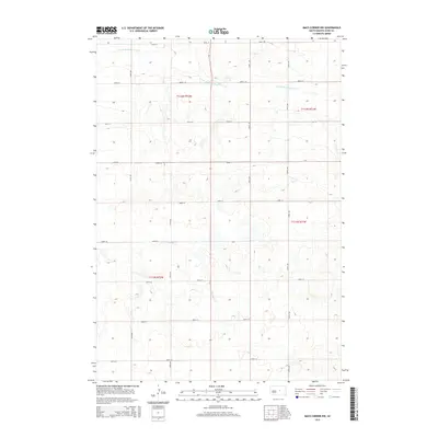
2012 Macs Corner
Hyde County, SD
2012 Macs Corner NE
Hyde County, SD
2012 Macs Corner NW
Hyde County, SD
2012 Macs Corner SE
Hyde County, SD
2012 Mitchell Lake
Hyde County, SD
2012 Rice Lake
Hyde County, SD
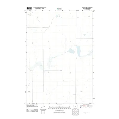
2012 Thomas Lake
Hyde County, SD
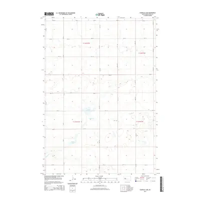
2015 Chapelle Lake
Hyde County, SD
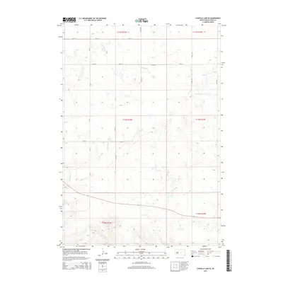
2015 Chapelle Lake SE
Hyde County, SD
2015 Harrold NE
Hyde County, SD
2015 Highmore SE
Hyde County, SD
2015 Holabird
Hyde County, SD
2015 Lower Brule NE
Hyde County, SD
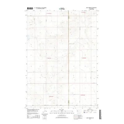
2015 Macs Corner
Hyde County, SD
2015 Macs Corner NE
Hyde County, SD
2015 Macs Corner NW
Hyde County, SD
2015 Macs Corner SE
Hyde County, SD
2015 Mitchell Lake
Hyde County, SD
2015 Rice Lake
Hyde County, SD
2015 Thomas Lake
Hyde County, SD
2017 Chapelle Lake
Hyde County, SD
2017 Chapelle Lake SE
Hyde County, SD
2017 Harrold NE
Hyde County, SD
2017 Highmore SE
Hyde County, SD
2017 Holabird
Hyde County, SD
2017 Lower Brule NE
Hyde County, SD
2017 Macs Corner
Hyde County, SD
2017 Macs Corner NE
Hyde County, SD
2017 Macs Corner NW
Hyde County, SD
2017 Macs Corner SE
Hyde County, SD
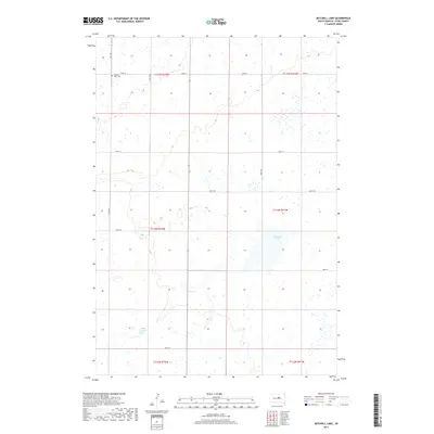
2017 Mitchell Lake
Hyde County, SD
2017 Rice Lake
Hyde County, SD
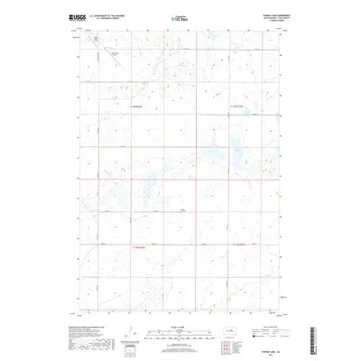
2017 Thomas Lake
Hyde County, SD
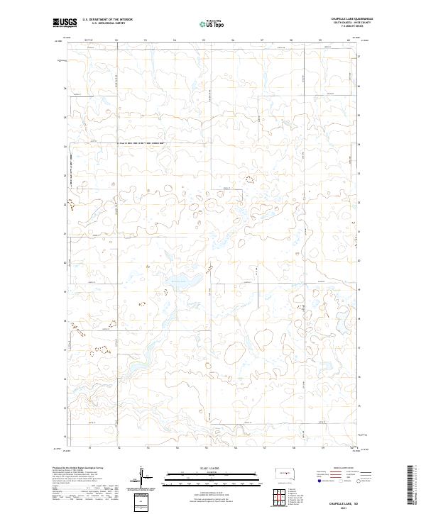
2021 Chapelle Lake
Hyde County, SD
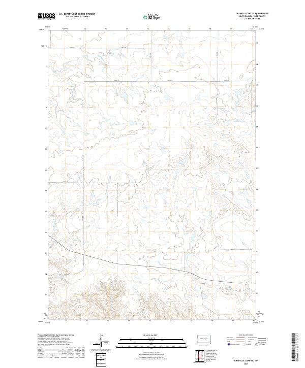
2021 Chapelle Lake SE
Hyde County, SD
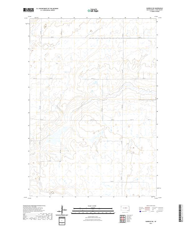
2021 Harrold NE
Hyde County, SD
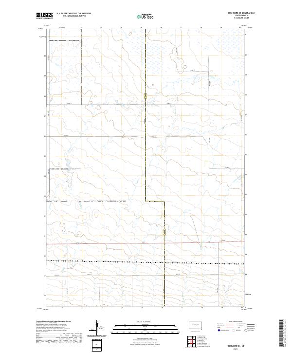
2021 Highmore SE
Hyde County, SD
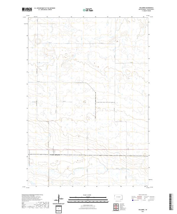
2021 Holabird
Hyde County, SD
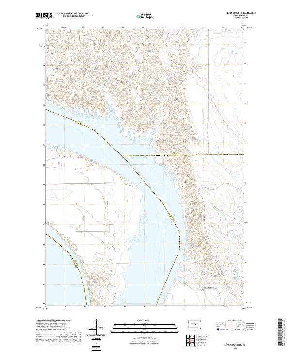
2021 Lower Brule NE
Hyde County, SD
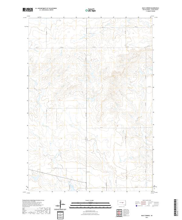
2021 Macs Corner
Hyde County, SD
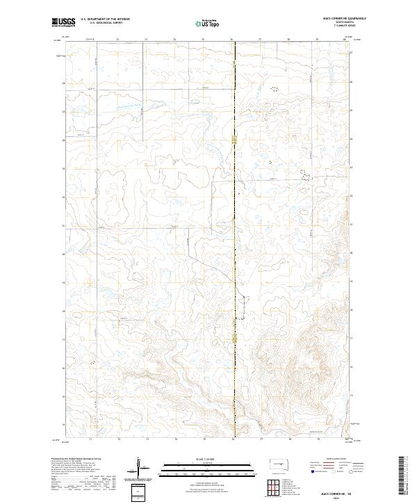
2021 Macs Corner NE
Hyde County, SD
2021 Macs Corner NW
Hyde County, SD
2021 Macs Corner SE
Hyde County, SD
2021 Mitchell Lake
Hyde County, SD
2021 Rice Lake
Hyde County, SD
2021 Thomas Lake
Hyde County, SD