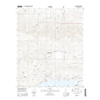
2015 Map of Fawnskin
USGS Topo · Published 2015About this map
Fawnskin and the northern shores of Big Bear Lake anchor this 2015 study of the San Bernardino Mountains. The landscape is defined by the high-elevation basins of Holcomb Valley and Upper Holcomb Valley, areas historically significant for their association with California's gold rush era, though here depicted in their modern forest context within the San Bernardino National Forest. The map traces the winding route of the Pacific Crest National Scenic Trail as it traverses the ridges near Delamar Mtn and Bertha Peak, offering a detailed look at the recreational infrastructure that has succeeded the region's earlier industrial ventures.
Find a feature on this map
79 named features on this map. Tap any name to fly to it.
Don’t see what you’re looking for? This feature index may not catch every label — zoom into the map to look around manually.
Map Details
Editions of this 2015 Fawnskin Map
This is the sole edition of this map. No revisions or reprints were ever made.
Other maps of this area

1899 · Redlands
USGS Topo · 1:62,500

1901 · Southern California Sheet No. 1
USGS Topo · 1:250,000

1901 · Redlands
USGS Topo · 1:62,500

1902 · Deep Creek
USGS Topo · 1:62,500

1902 · San Gorgonio
USGS Topo · 1:125,000

1904 · Southern California Sheet No. 1
USGS Topo · 1:250,000

1947 · Lucerne Valley
USGS Topo · 1:62,500

1949 · Lucerne Valley
USGS Topo · 1:62,500

1953 · San Bernardino
USGS Topo · 1:250,000
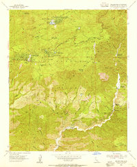
1953 · Keller Peak
USGS Topo · 1:24,000