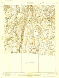
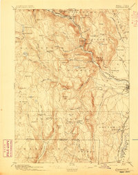
1933 Map of Feeding Hills
USGS Topo · Published 1933About this map
Proven Mountain forms a dramatic central ridge through this 1933 survey, dividing the industrial and residential centers of West Springfield and Agawam from the rural expanse of Southwick. The landscape reflects early 20th-century social infrastructure, anchored by the Westfield State Sanatorium and the Hampden Co Training Sch. To the north, the Westfield River loops past the settlement of Frog Bottom and the W. Springfield Station on the Boston and Albany Railroad, while the early aviation age is represented by the Bowes-Agawam Landing Field.
Find a feature on this map
47 named features on this map. Tap any name to fly to it.
Don’t see what you’re looking for? This feature index may not catch every label — zoom into the map to look around manually.
Map Details
Editions of this 1933 Feeding Hills Map
This is the sole edition of this map. No revisions or reprints were ever made.
Other maps of this area

1886 · Springfield
USGS Topo · 1:62,500
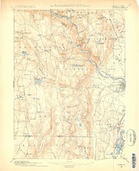
1887 · Granville
USGS Topo · 1:62,500

1889 · Springfield
USGS Topo · 1:62,500
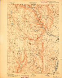
1889 · Granville
USGS Topo · 1:62,500
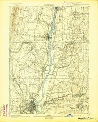
1892 · Hartford
USGS Topo · 1:62,500
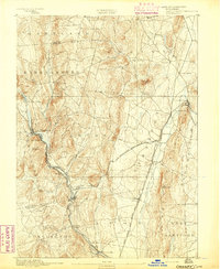
1892 · Granby
USGS Topo · 1:62,500
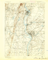
1893 · Springfield
USGS Topo · 1:62,500
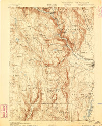
1893 · Granville
USGS Topo · 1:62,500
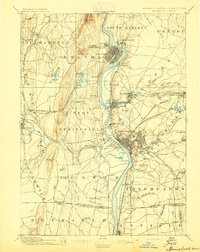
1895 · Springfield
USGS Topo · 1:62,500
1895 · Granville
USGS Topo · 1:62,500